BEAR CREEK ROAD

BEAR CREEK ROAD

Thanks to all the rain we’ve had this winter, the hills are still gloriously green, just the time for a drive.

As you pass through Tilden Park at the top of the East Bay hills, in the spring you’ll see yellow wild mustard flowers in bloom.

This is one of the trails I used to hike up.

On the far side of the East Bay hills is the San Pablo Reservoir.

You can hike around it on the Oursin Trail…

…or take a drive out Bear Creek Road, which runs for many miles through rolling hills.

In the spring you’ll also see lupin.

DRAKE’S BEACH

DRAKE’S BEACH

One of my favorite outings with Earl—driving to Drake’s Beach in his MGB. Sir Francis Drake Blvd. takes you through varied terrains: rolling hills and redwood forest, past streams and ponds, as well as the Nicasio Reservoir and Tomales Bay. In a haunting, isolated stand of trees near the ocean, I had my first face to face with an owl. These views are the last before you reach the ocean.

Above the beach is a tiny restaurant where you can dine on fish and chips while seagulls peer down at you from above.

This was the first time I took my new camera on one of our outings—so I could record our progress to the ocean and relive the experience any time I wanted to.

THE NICASIO RESERVOIR

THE NICASIO RESERVOIR

Yesterday I was feeling so restless I decided to take a long drive to a place I knew few people would be. After days of grayness and rain, the sky was clear and bright—an irresistible invitation to visit the spring hills before they turn dun and dry.

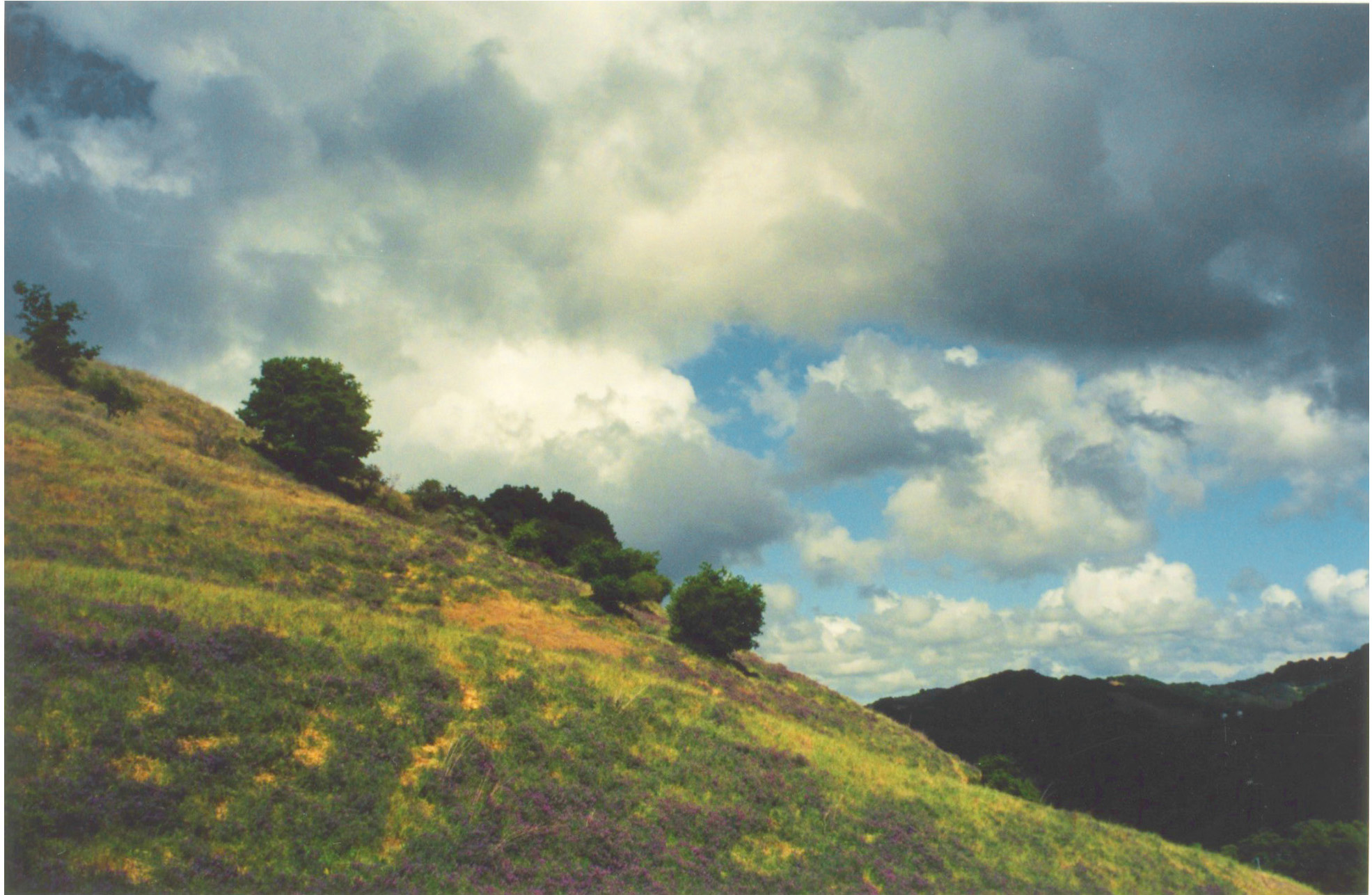
As I approached the Lucas Valley Road exit, however, I saw that cumulous clouds were piled up directly over the route I intended to take, casting a dark shadow over the landscape. So much for dazzling green vistas. Seeing a deer on the first slope cheered me a little.

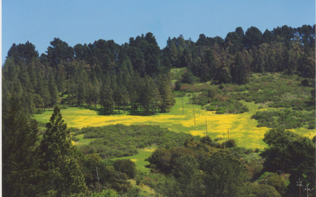
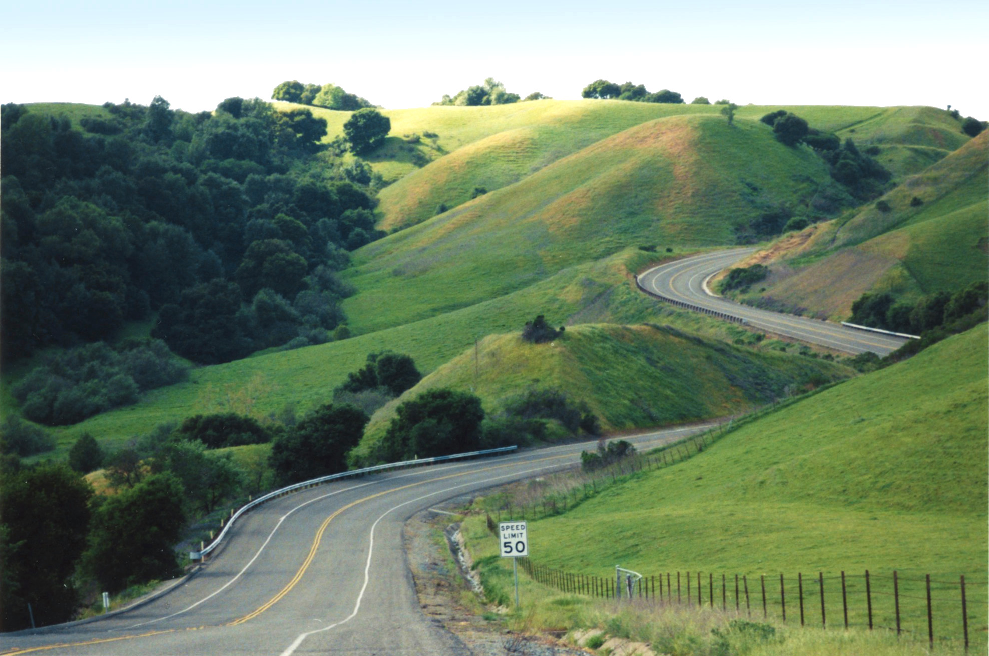
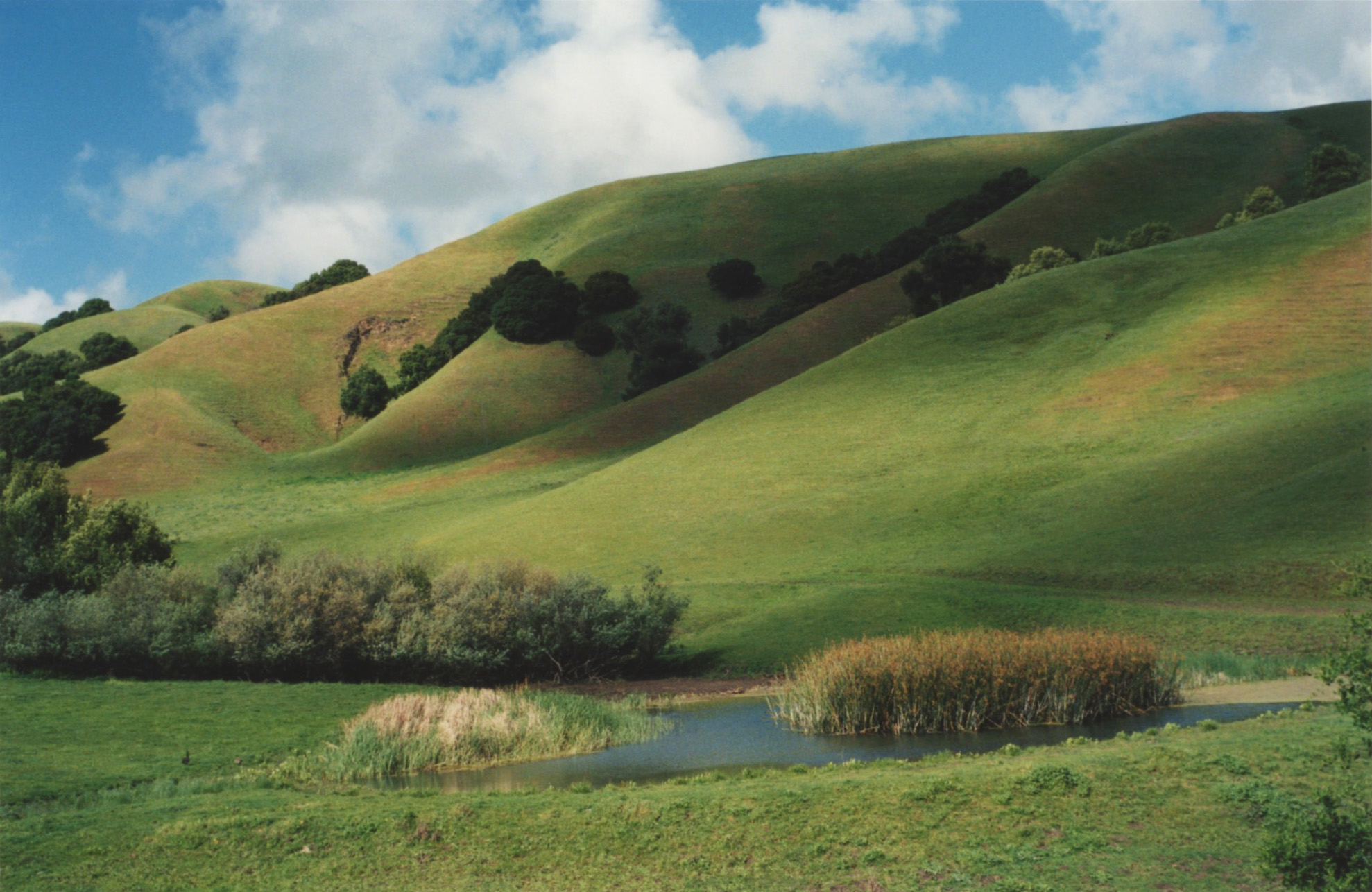
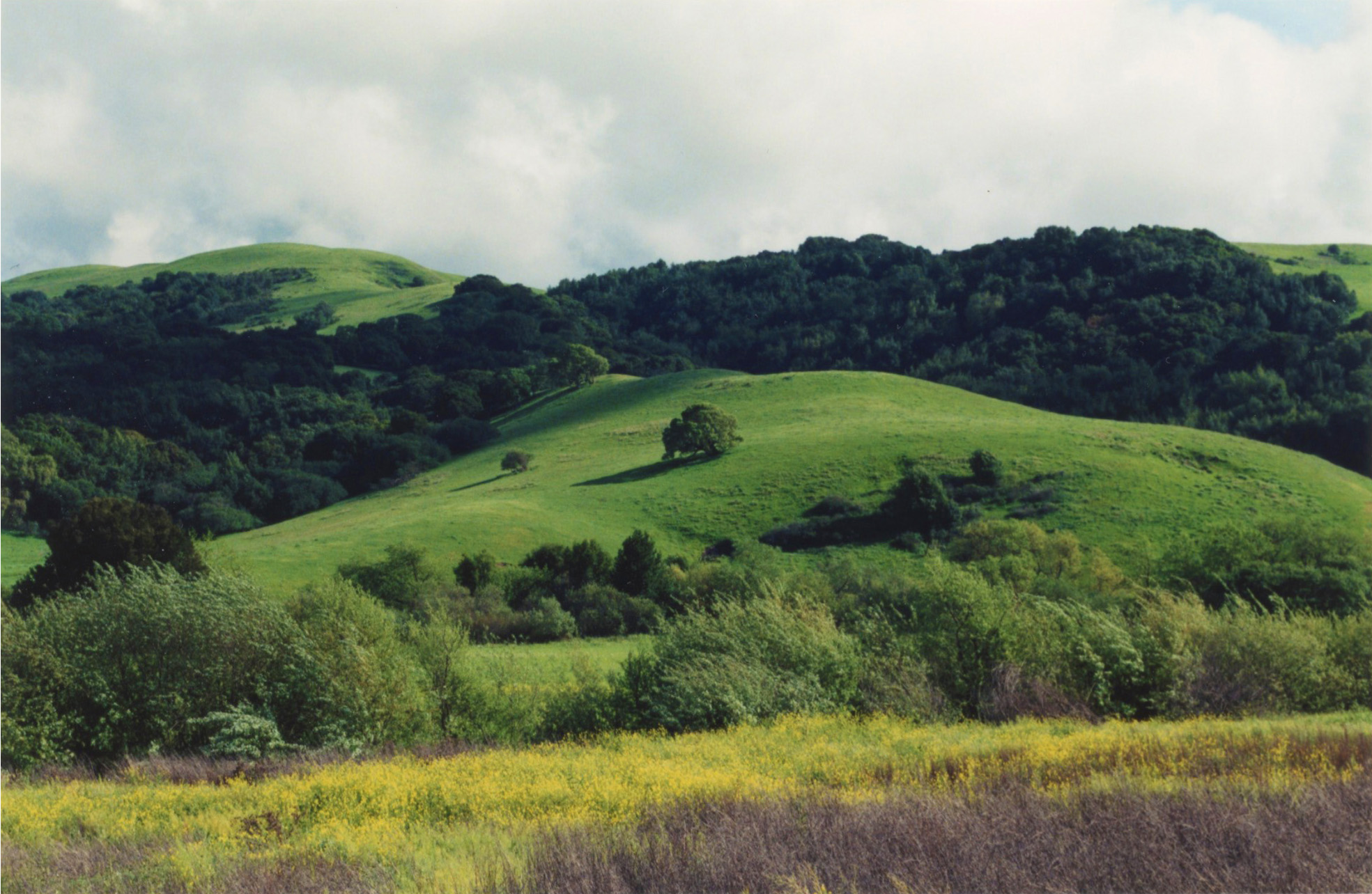
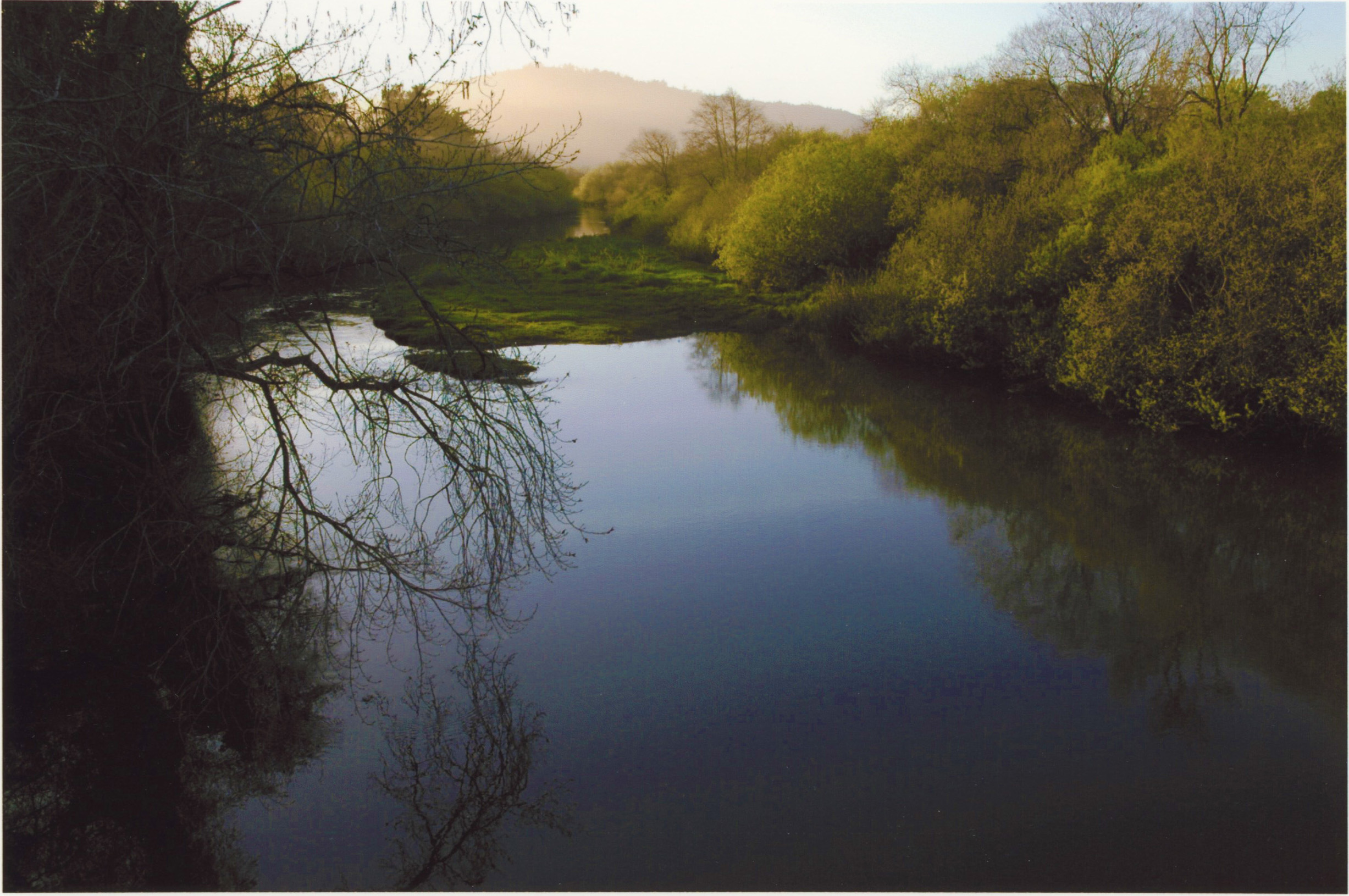
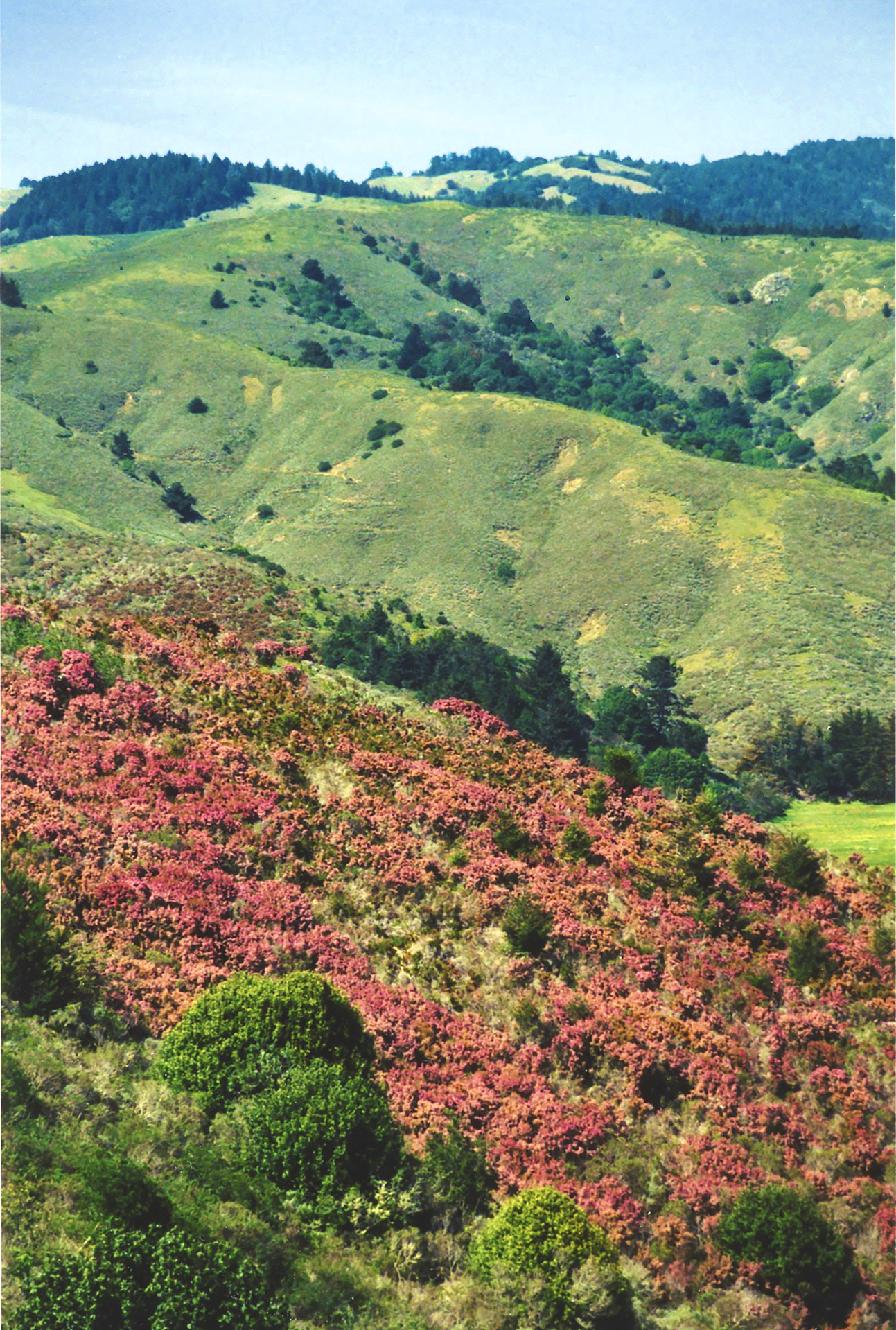
Lucas Valley Road winds through a valley between high rolling hills, though they’re mostly hidden by the woods that shoulder the road. A creek runs companionably alongside for as long as the road remains level.

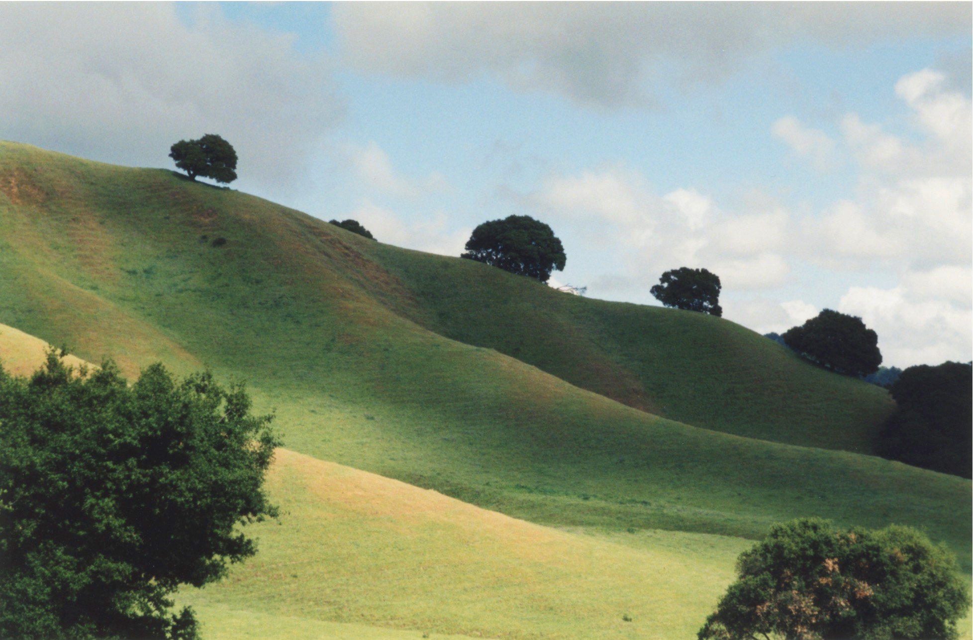
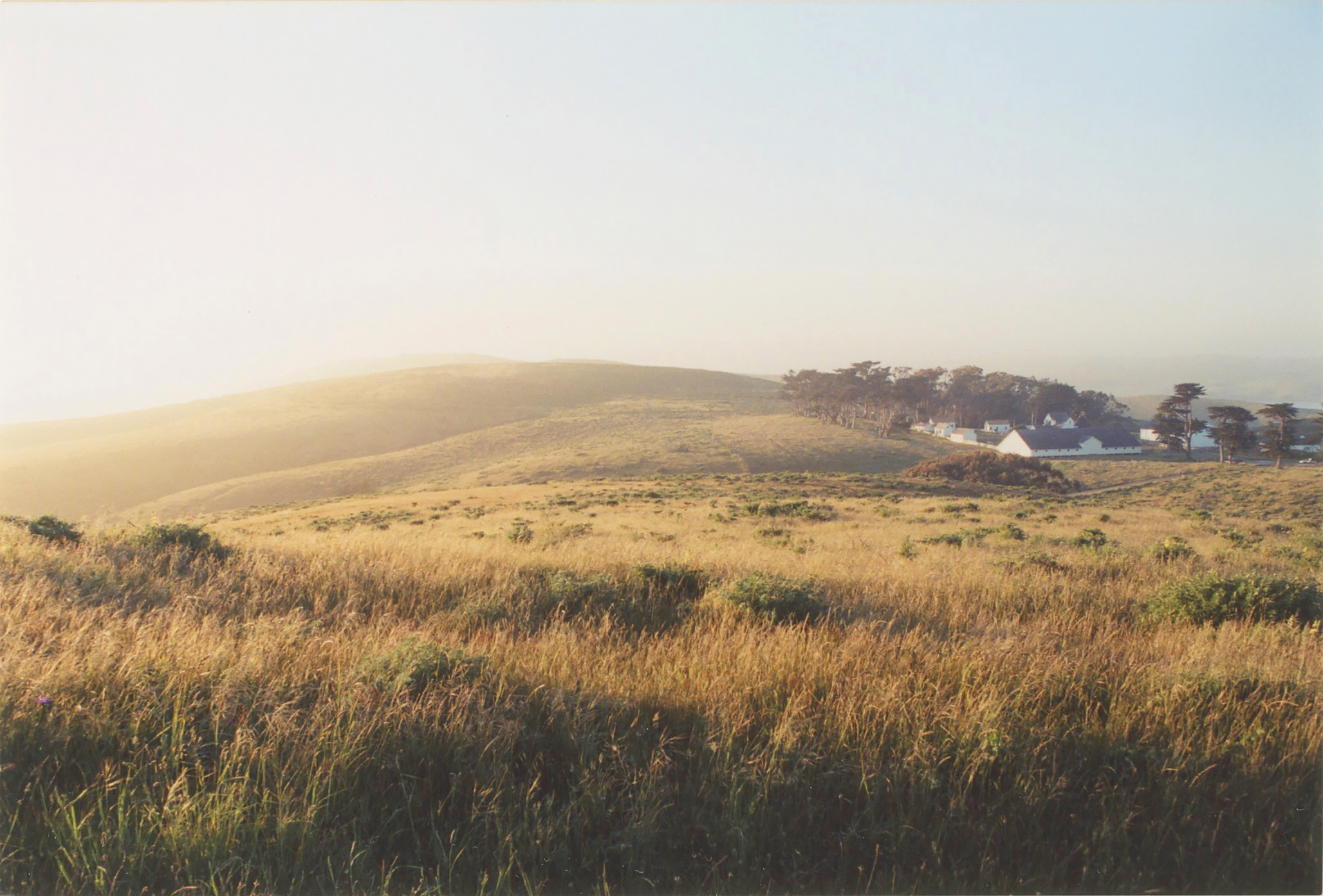
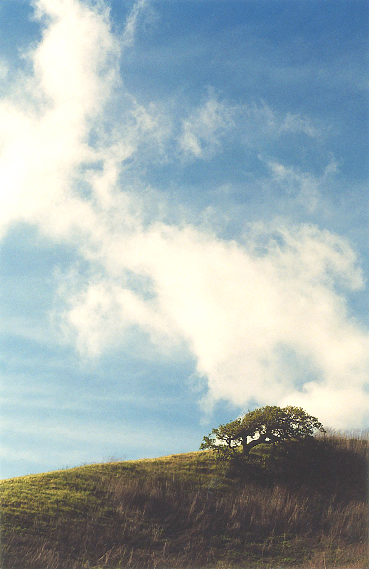
Soon I began glimpsing patches of brightening green through the trees as the road began to ascend. At its highest point, I passed two lookouts and got out of my car, briefly, at a third one, having outstripped the clouds—and felt myself enfolded in the verdant world around me.

Once I was underway again, the twisting road descended in hairpin turns, and at the bottom, I drove through the twilight of an ancient redwood forest, wisps of sunlight filtering between the massive trunks and striping the black macadam with occasional bars of brightness.

On the far side, I eventually came upon the town of Nicasio, with its one-room schoolhouse, single church, and a tiny roadside market where I used to buy Cherry Garcia yogurt bars when they’d disappeared from the rest of creation. (Actually, if I’m being honest, there’s a bigger school beyond the quaint one.) 

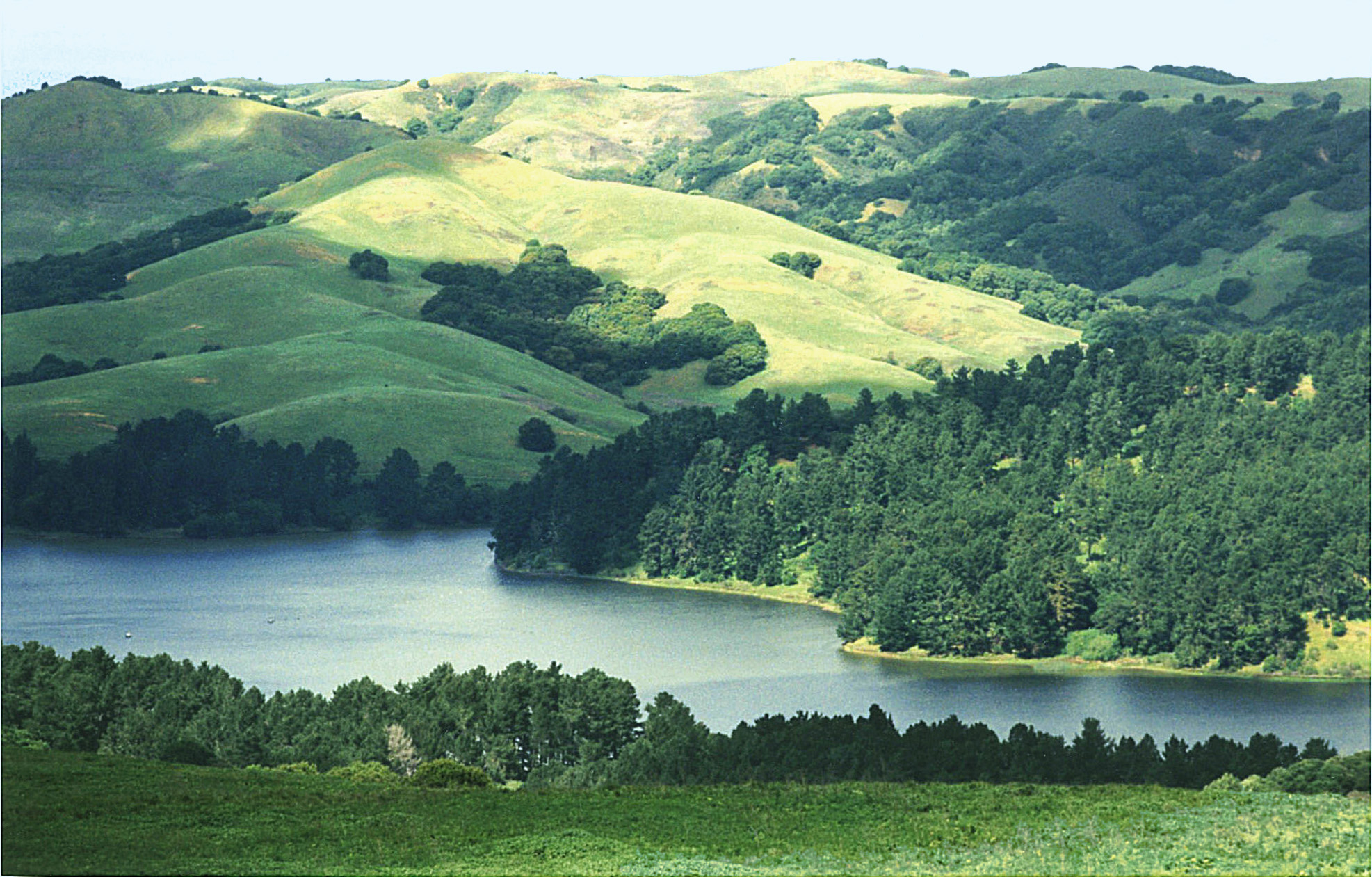
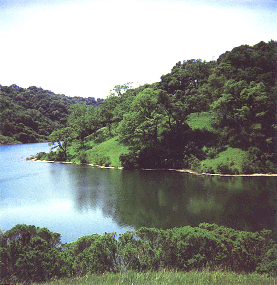
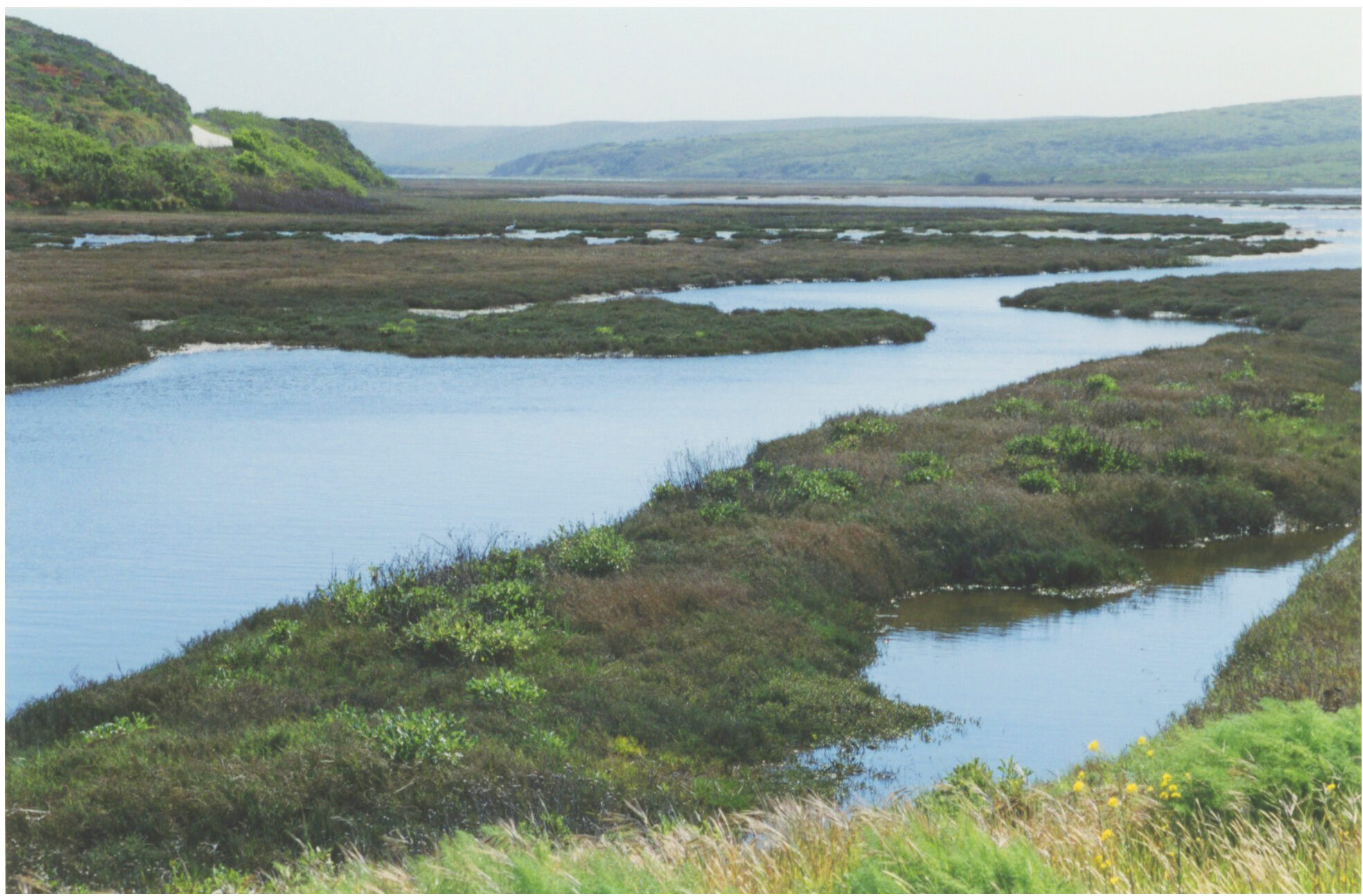
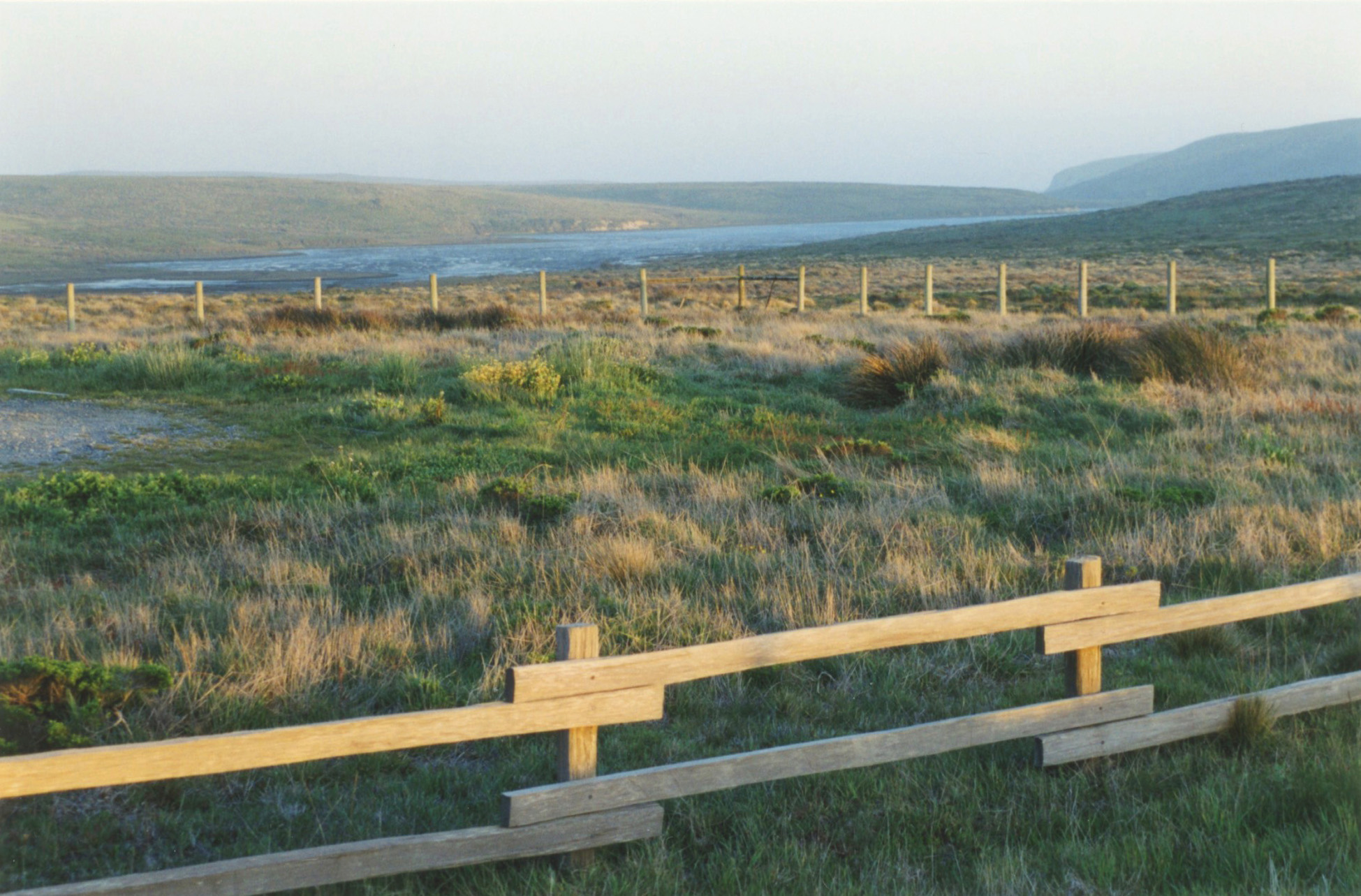
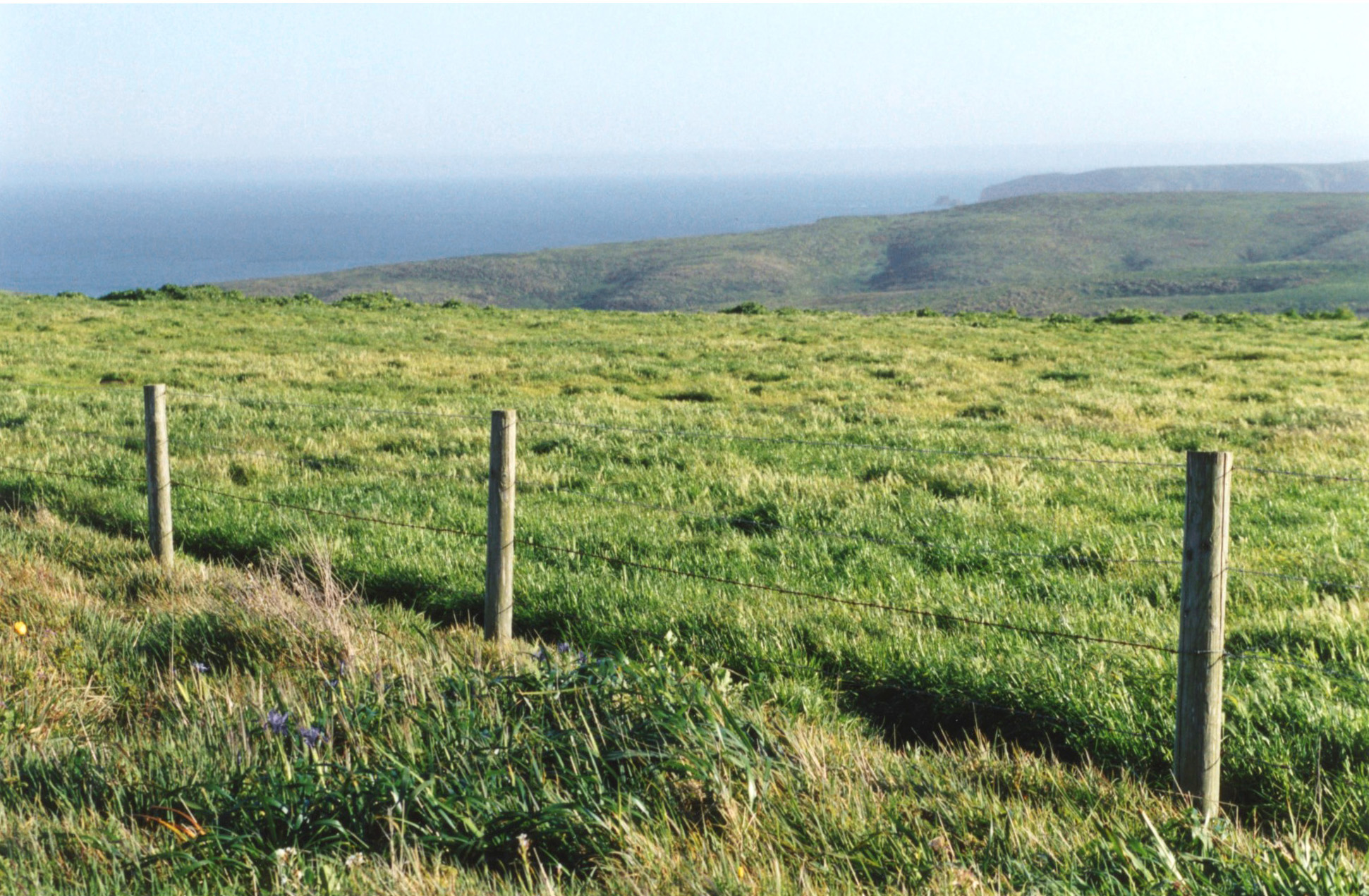
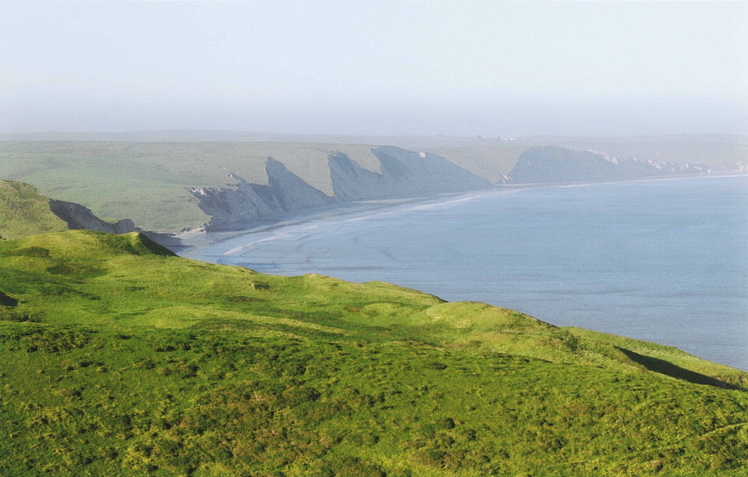
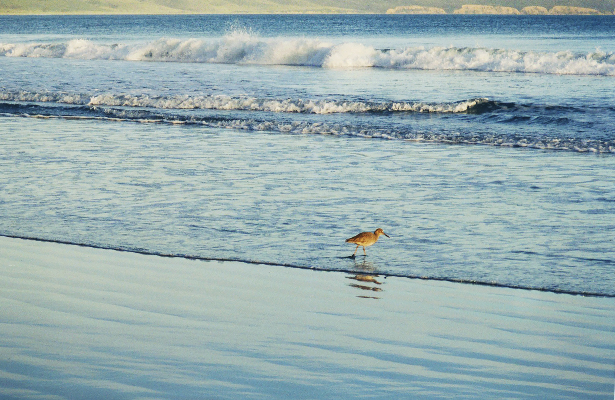
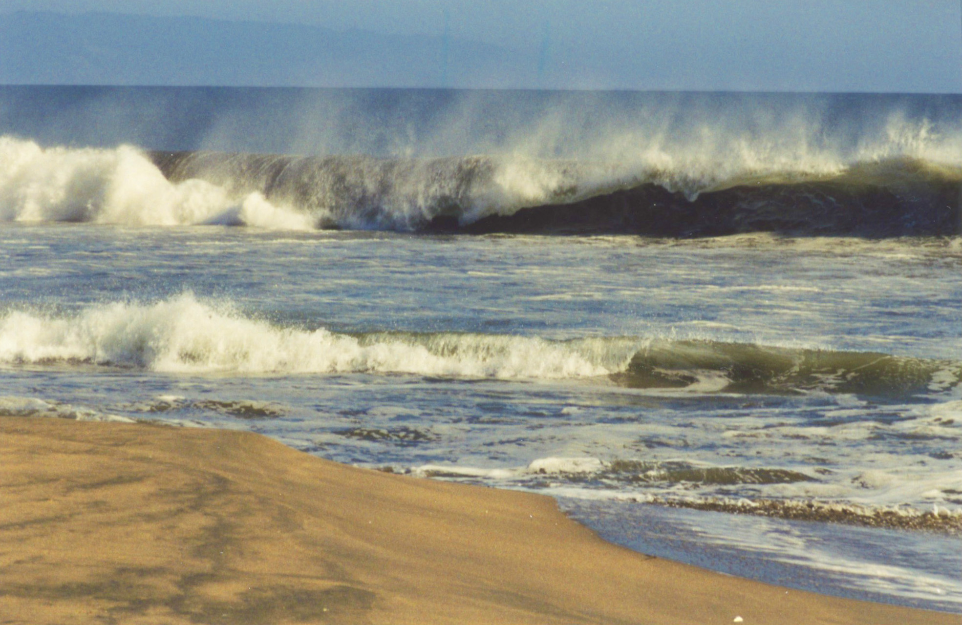
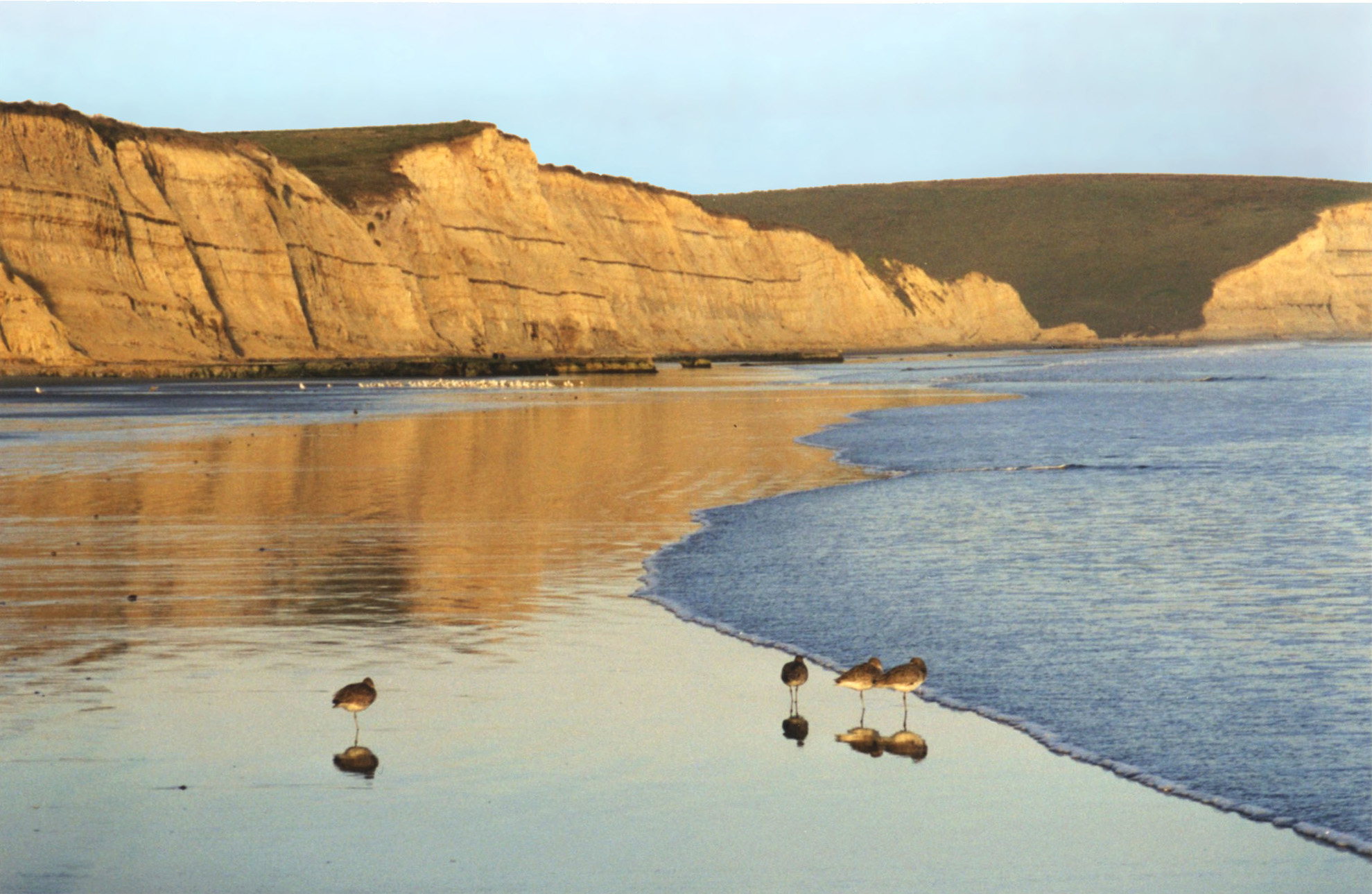
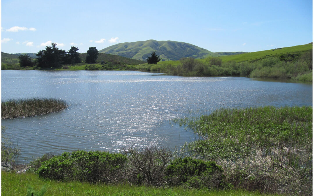
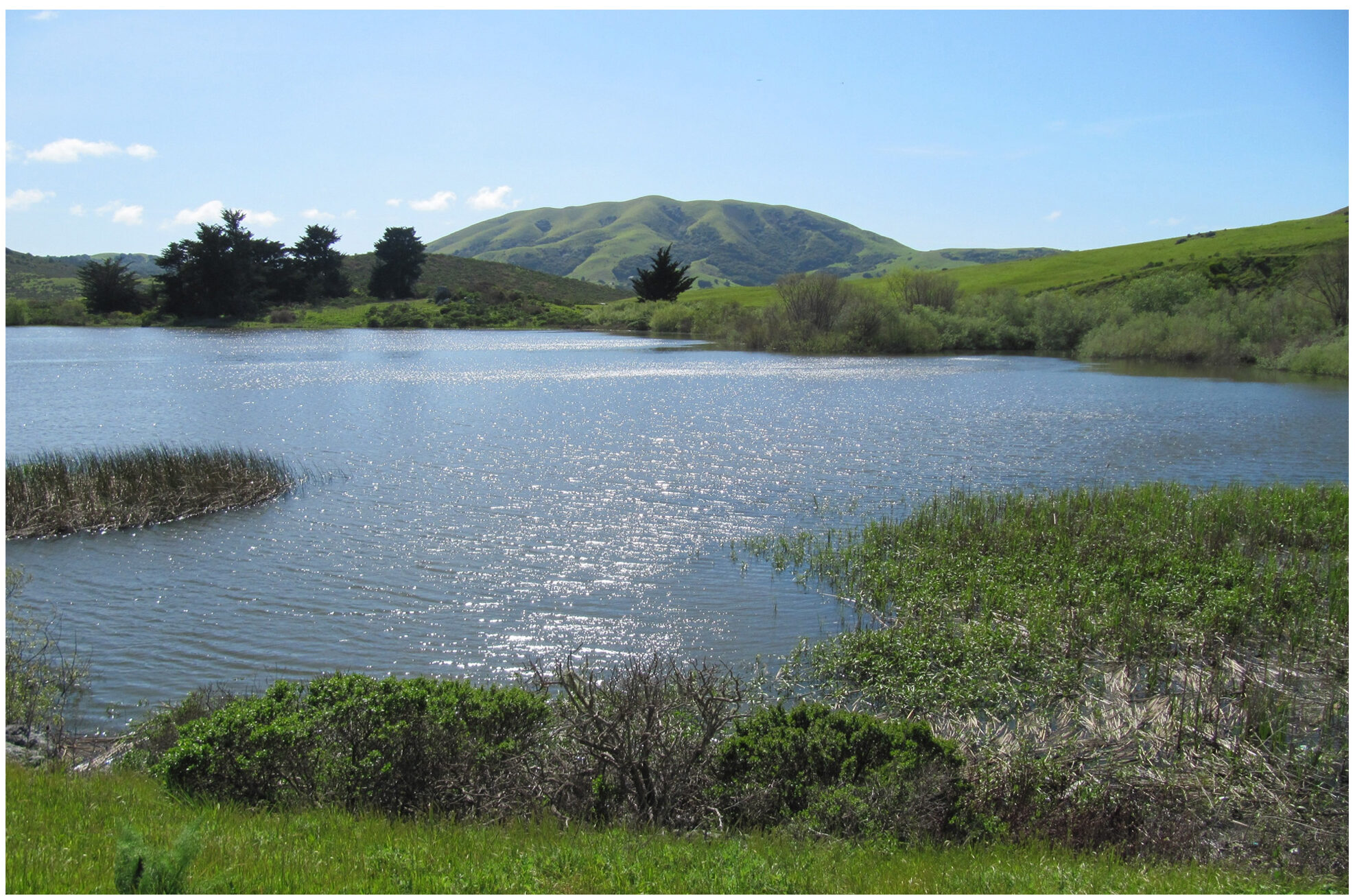
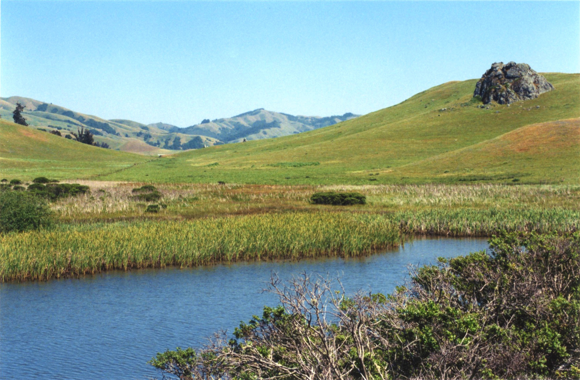
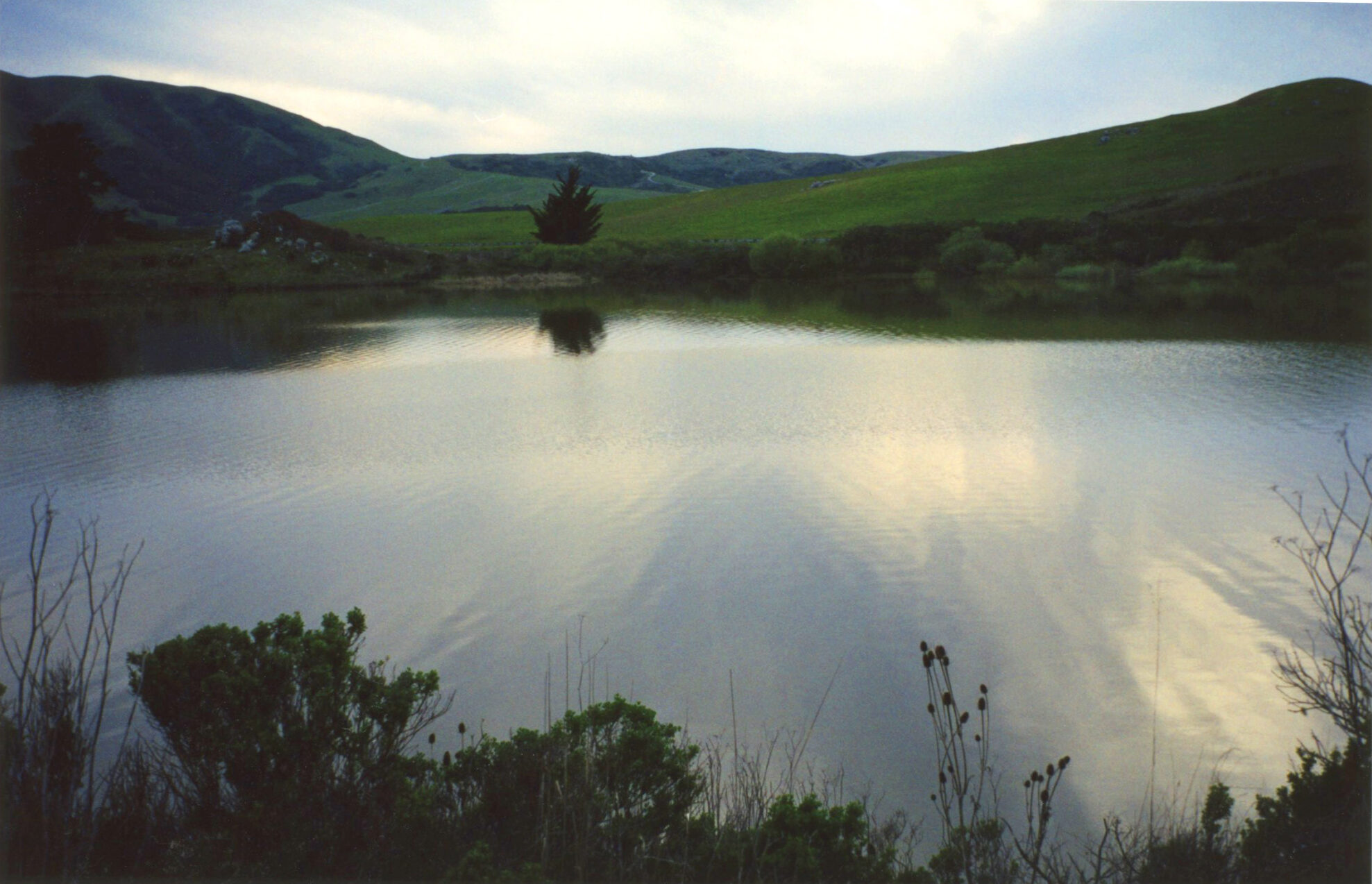
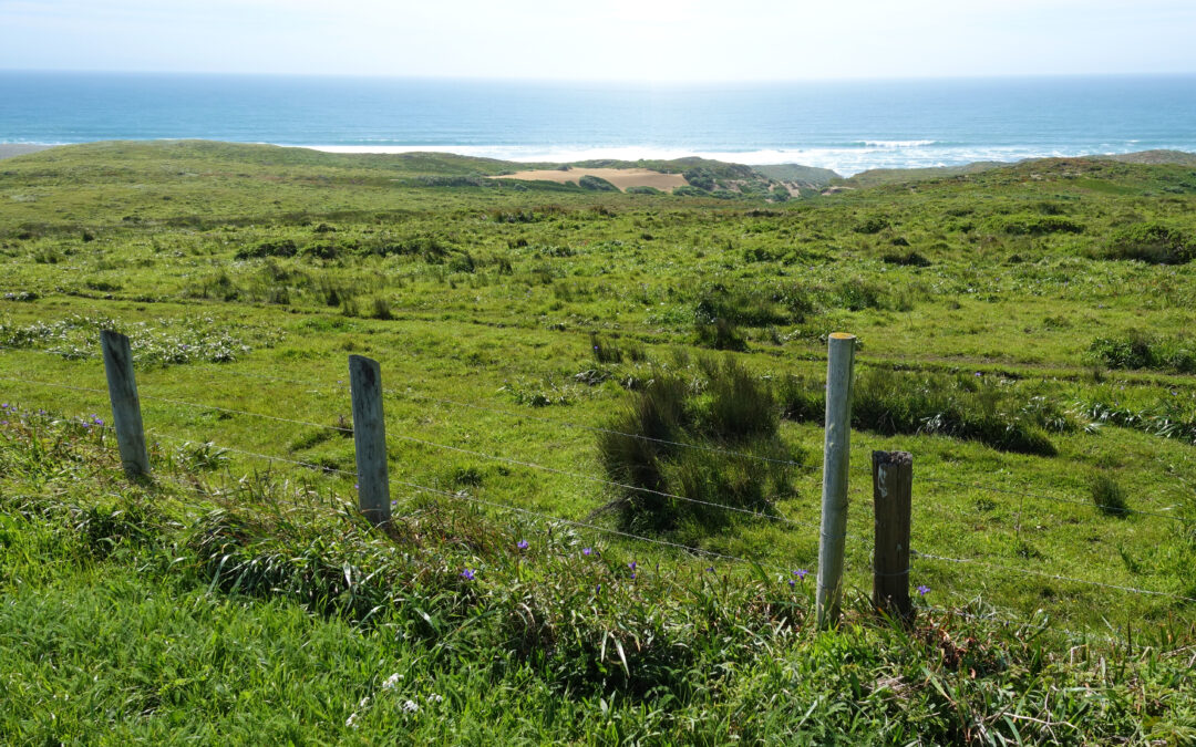
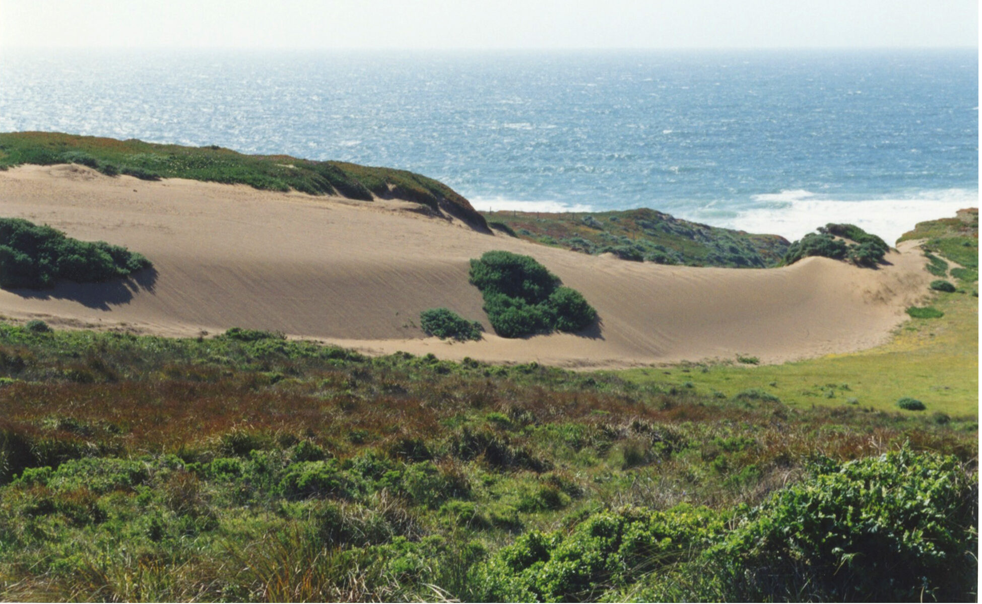
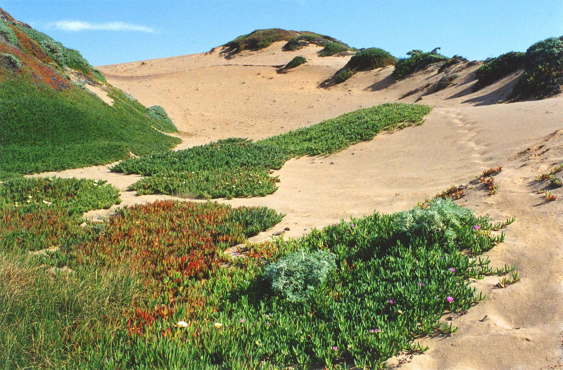
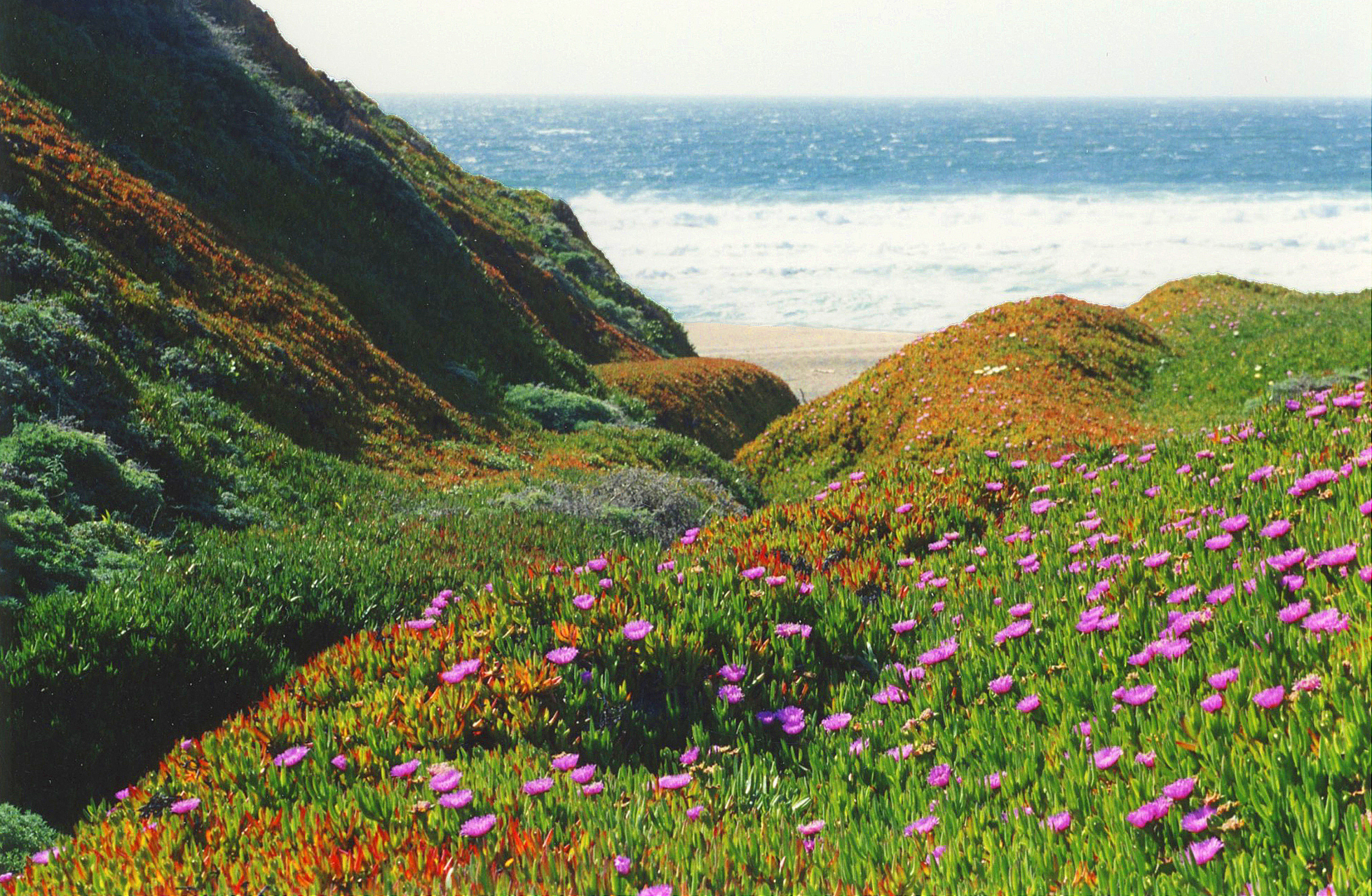
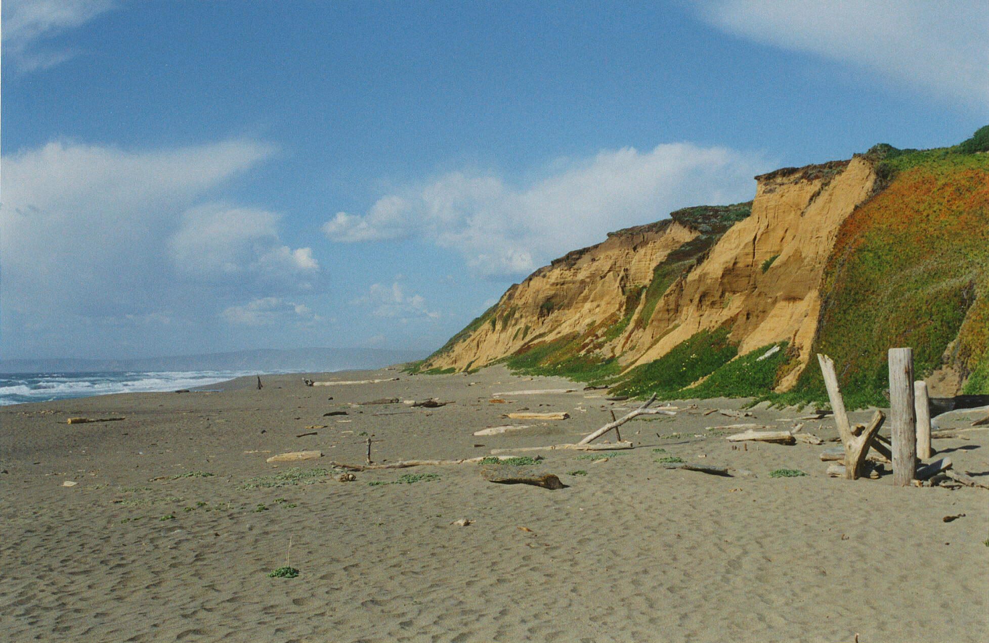
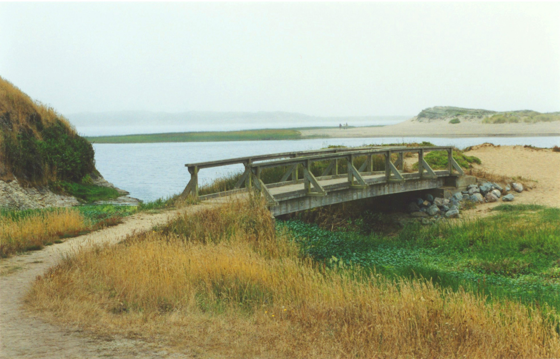
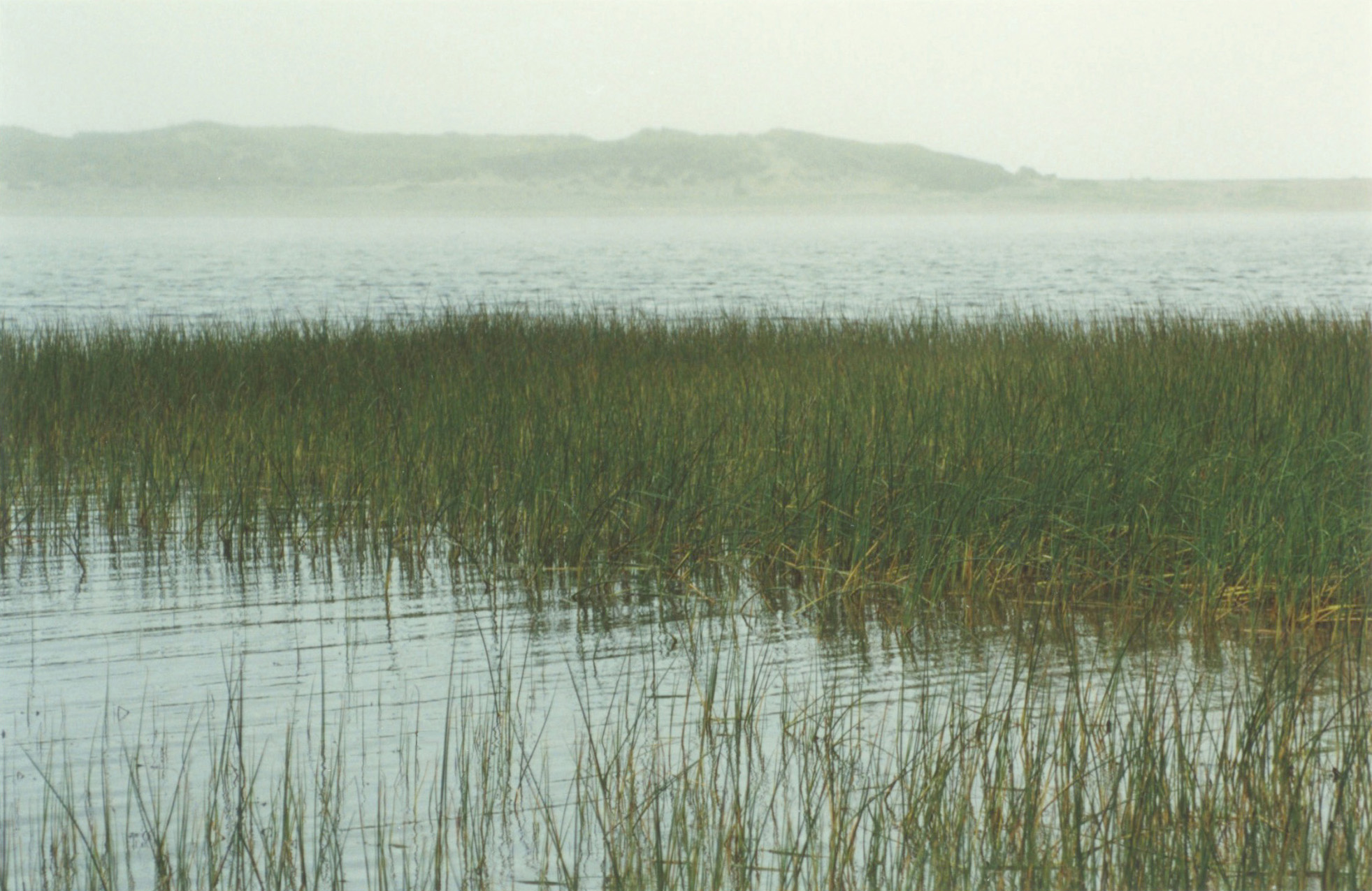
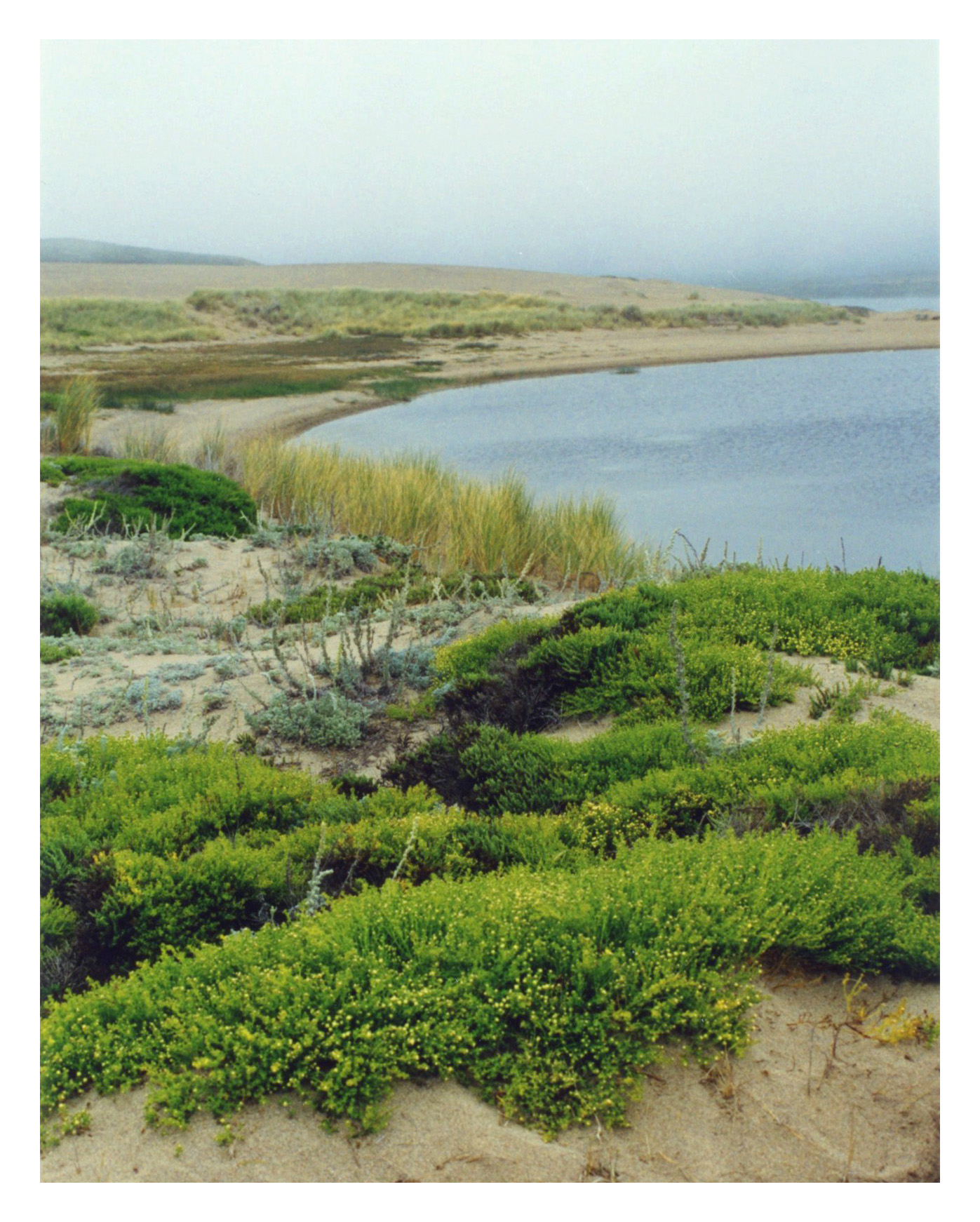
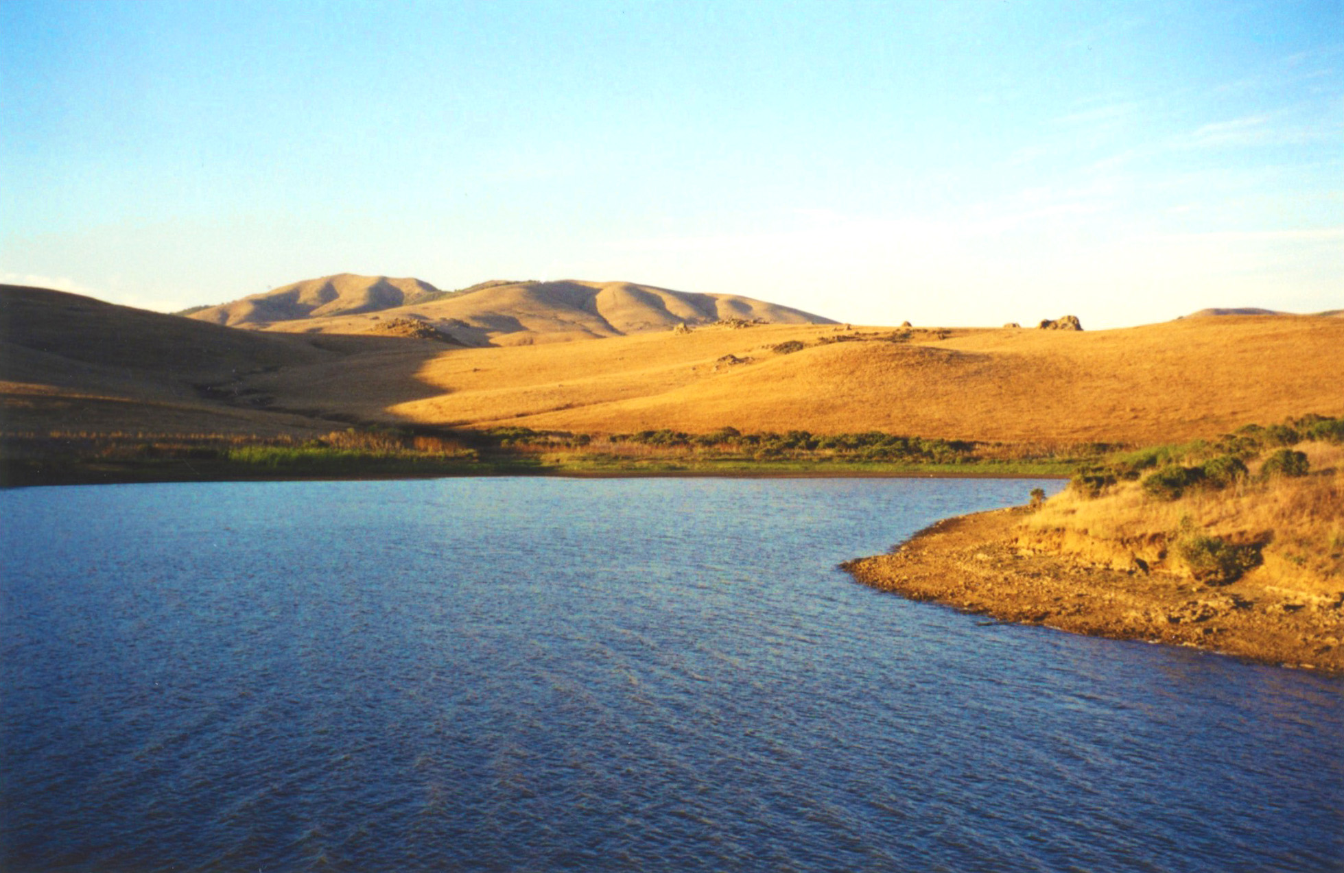
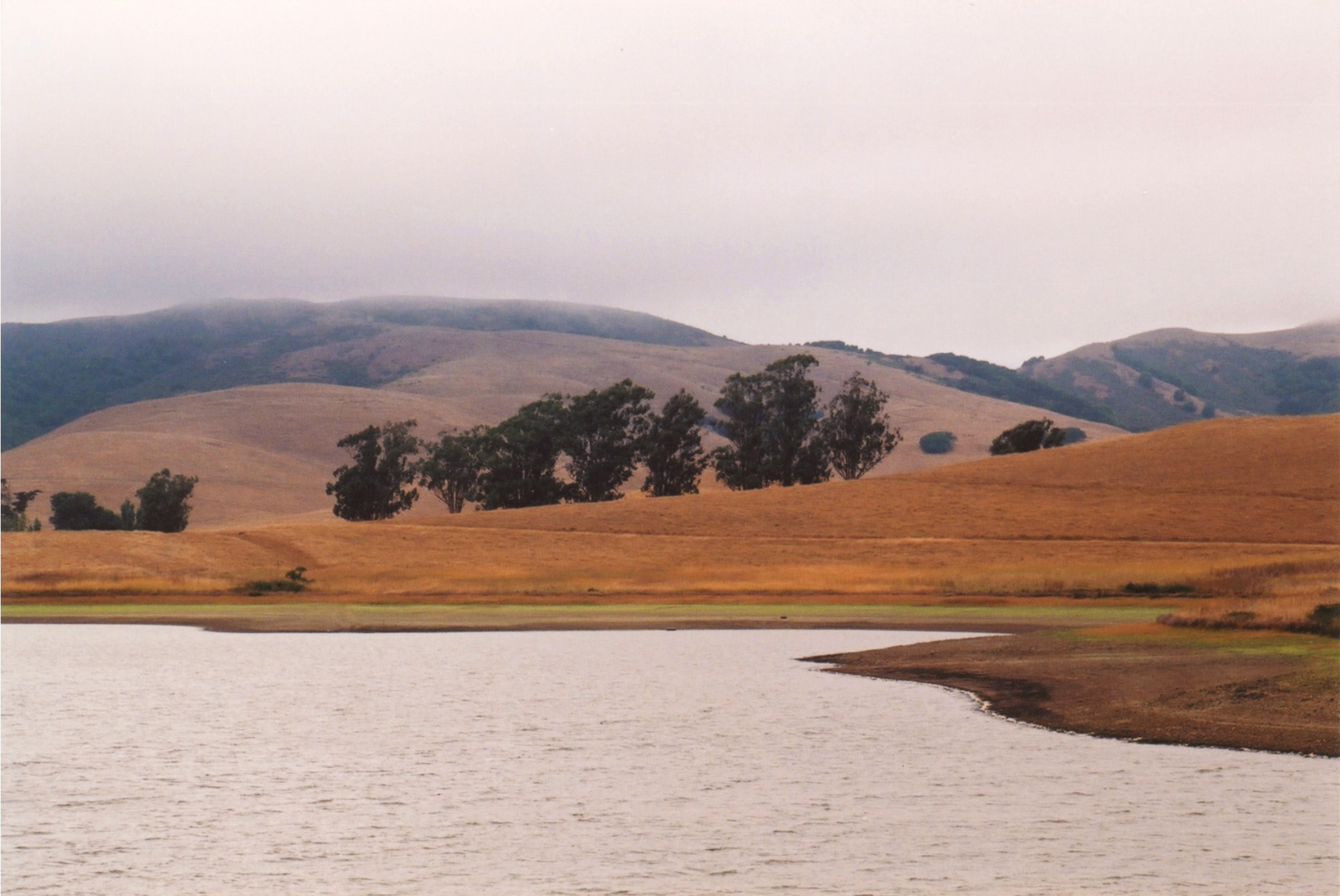
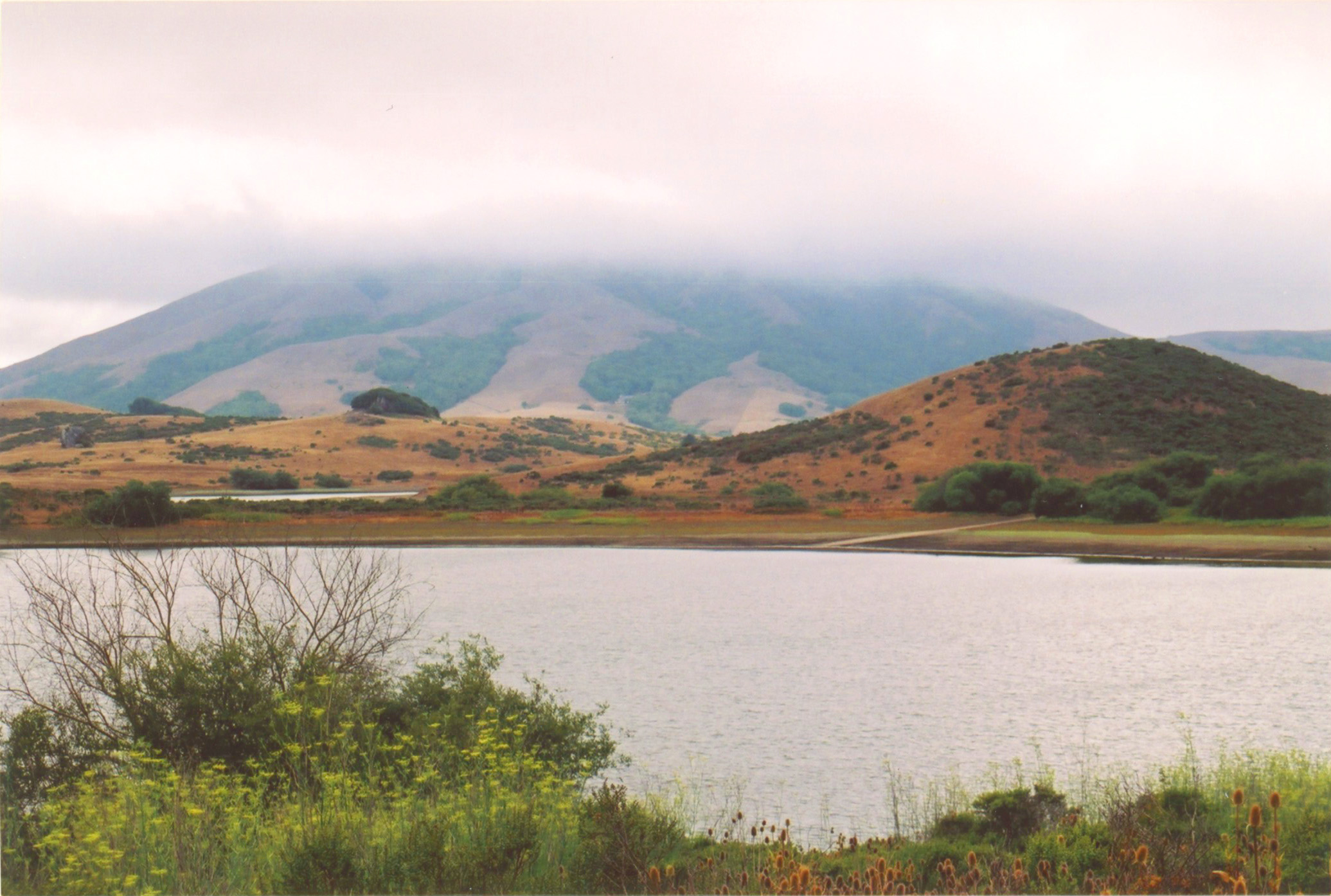
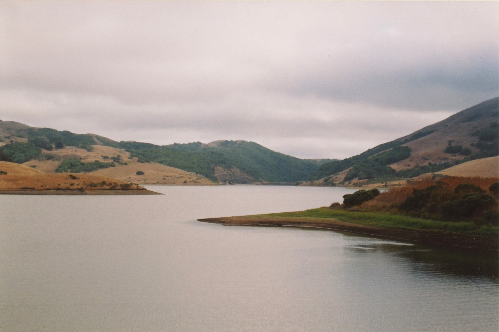
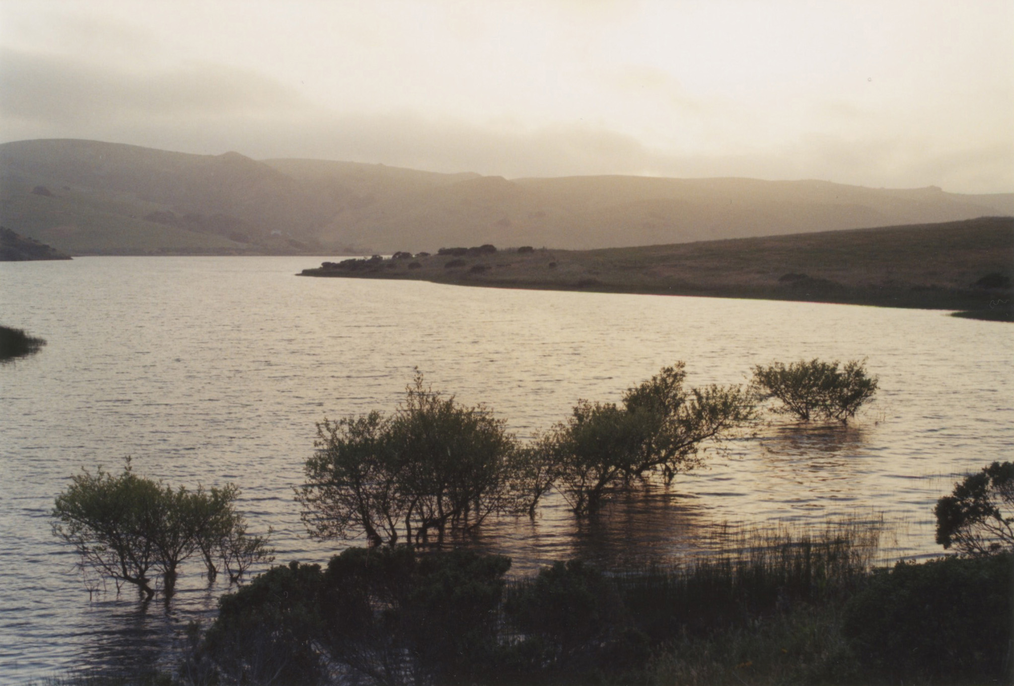
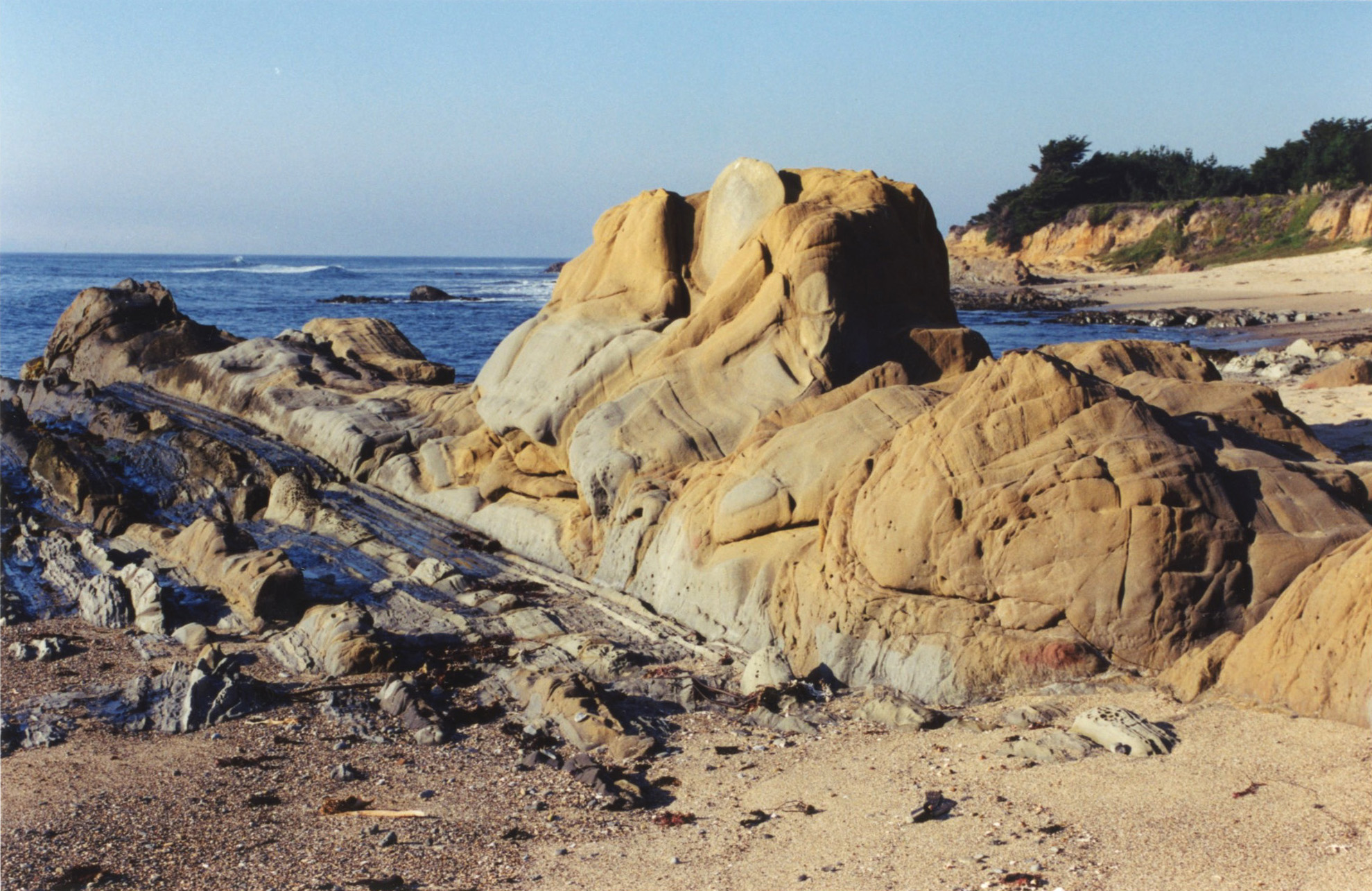
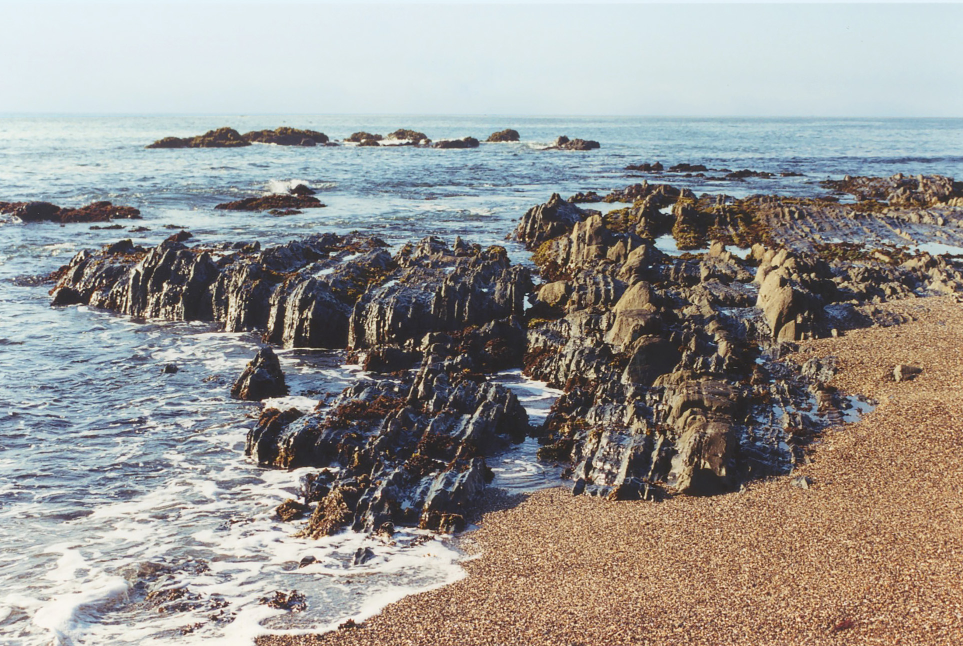
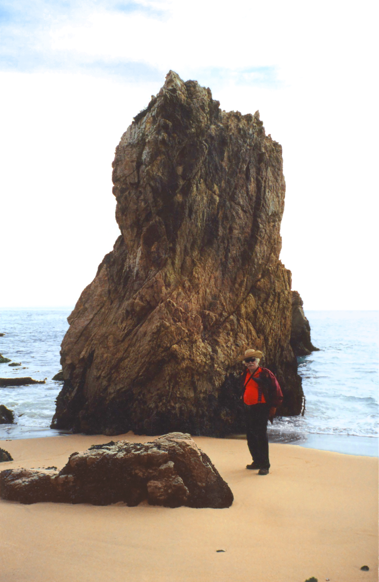
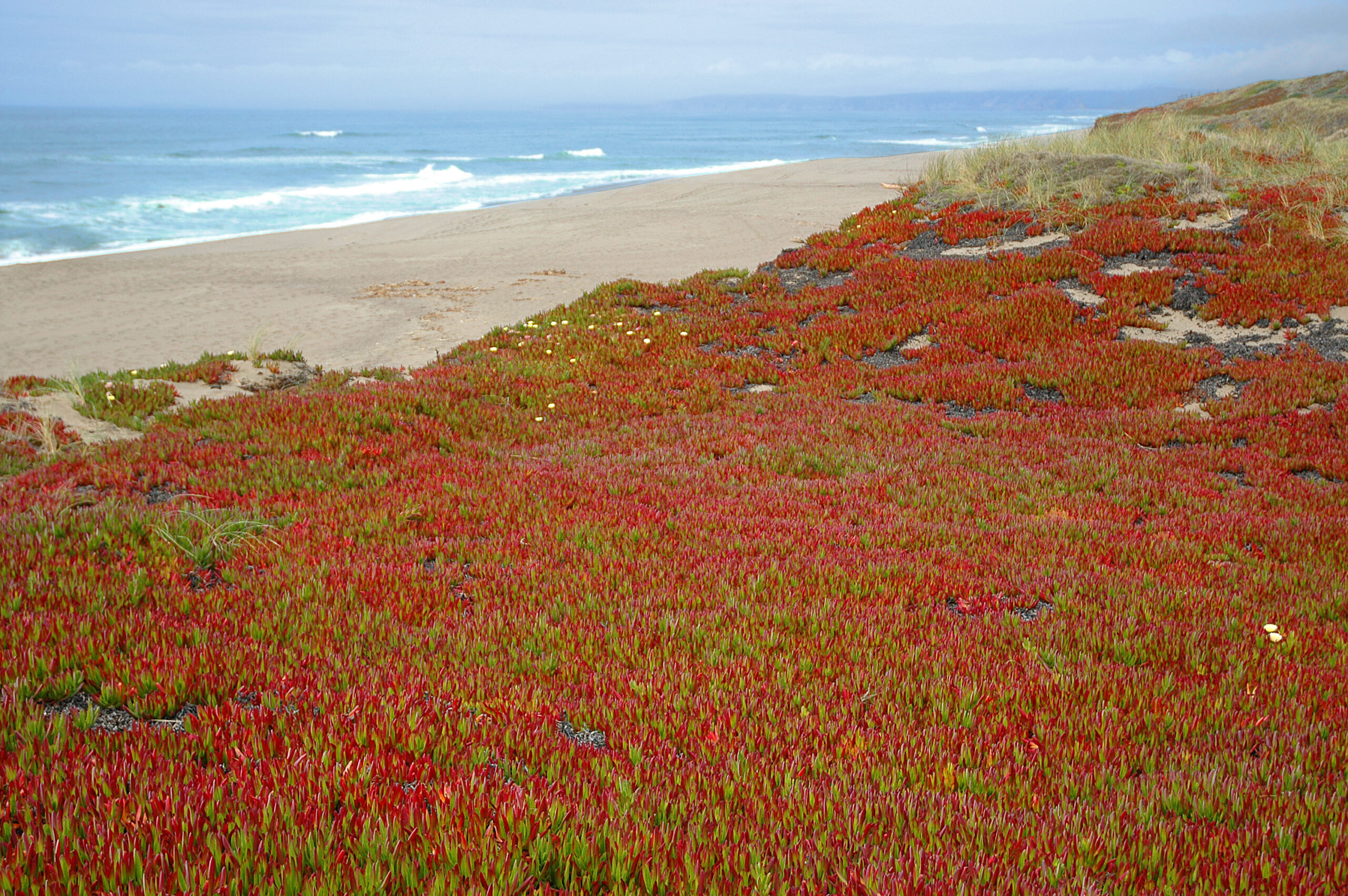
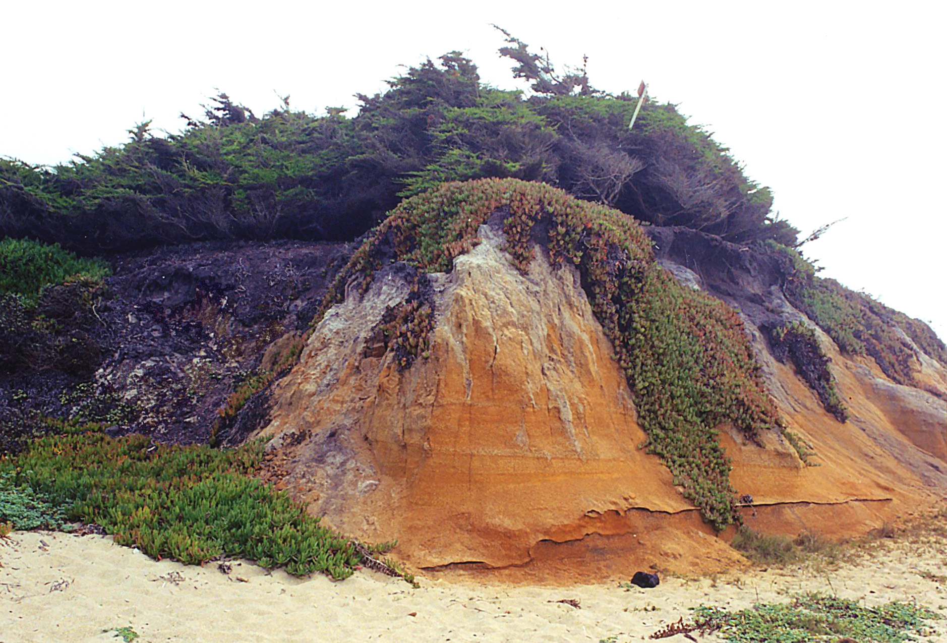
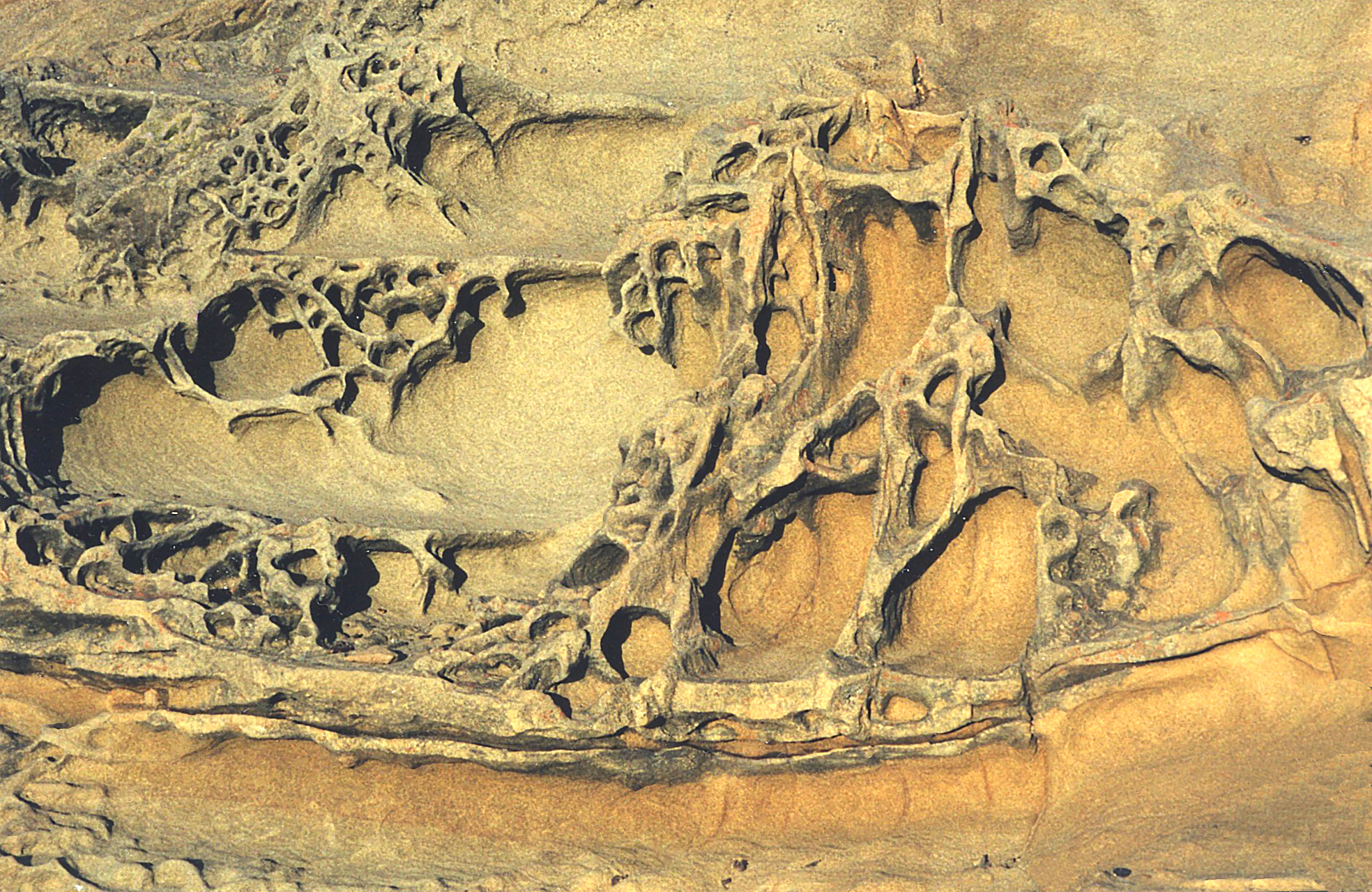
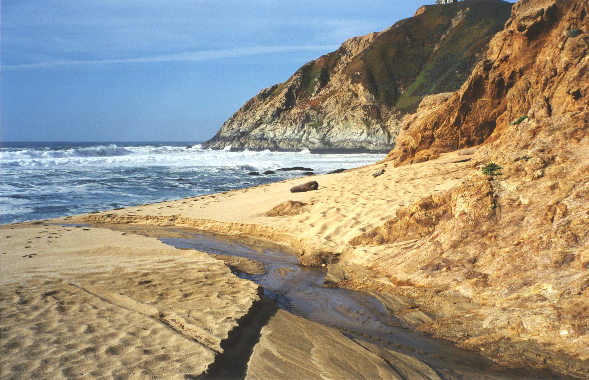
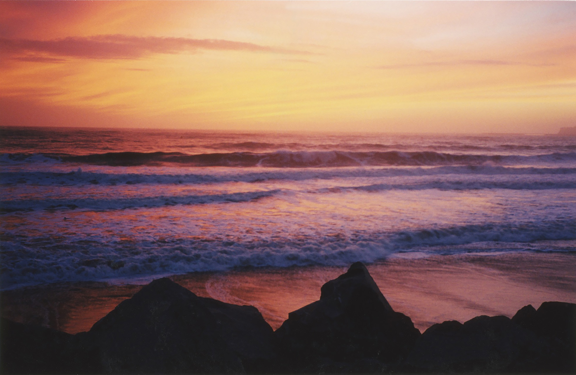
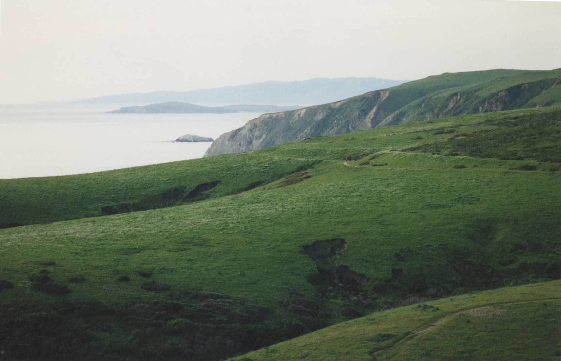
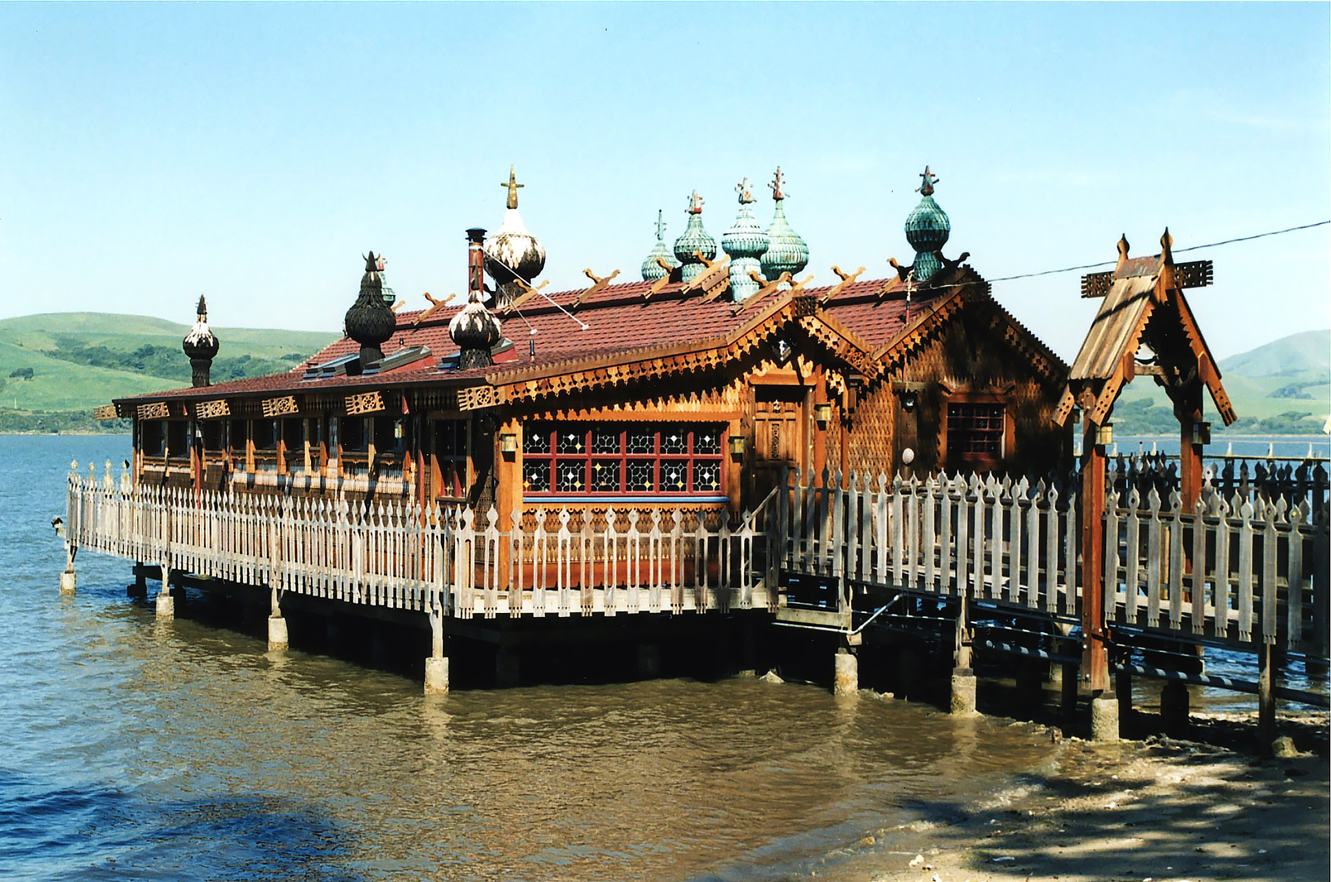
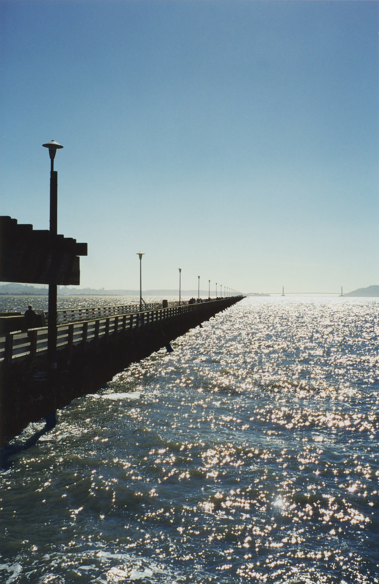
A few miles later, I reached the Nicasio Reservoir, one of my favorite scenic spots on the way to the ocean. (I’m always thrilled to see water in any landscape, perhaps because I grew up in Minnesota, land of 10,000 lakes.) Today I wouldn’t be driving on, though—through Inverness and Point Reyes Station and past my dune—to Drake’s Beach, because the access road would be closed.

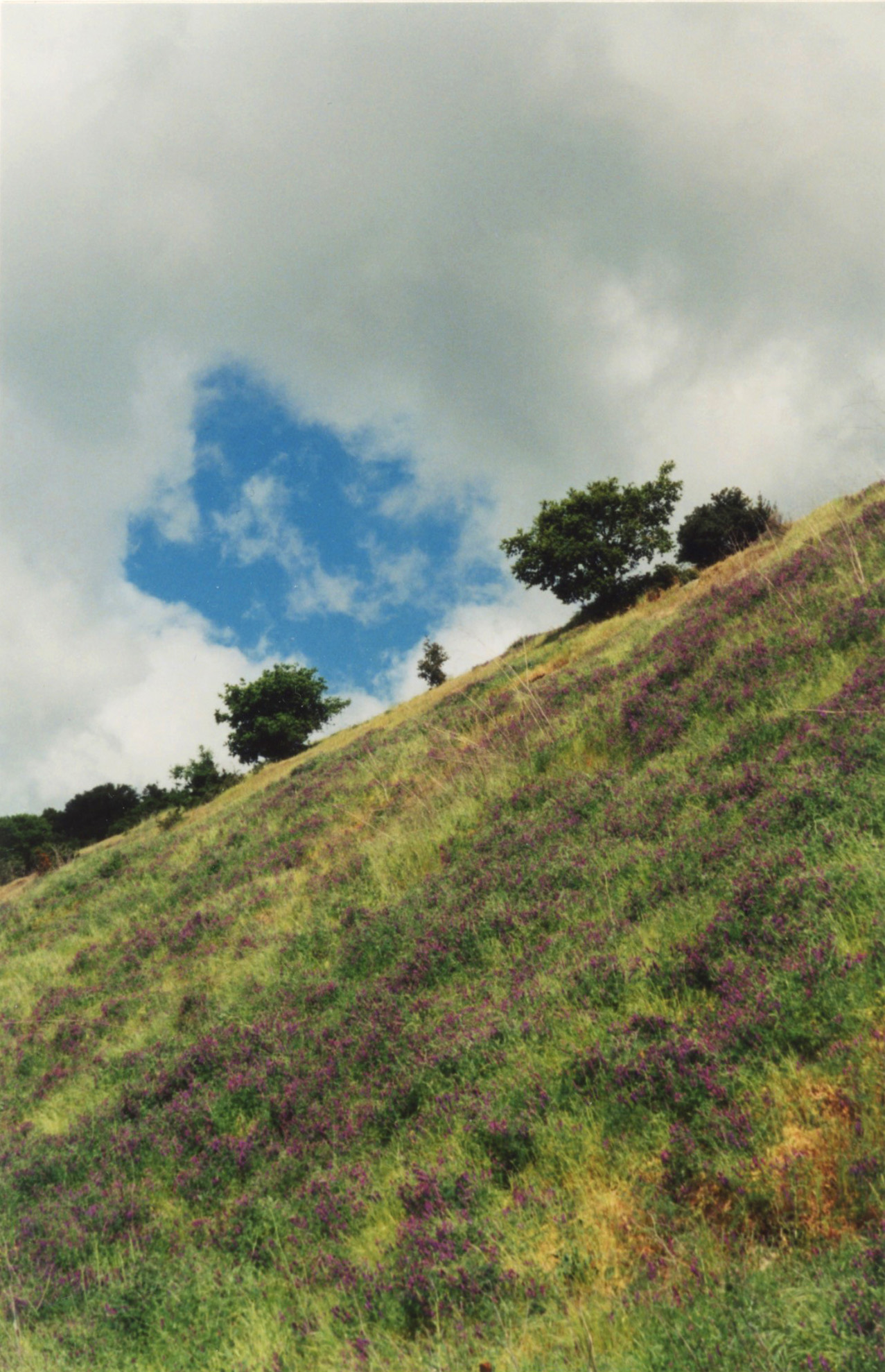
Instead, when I reached the steep wind-swept hillside with the dark green striated canopy, I turned back, heading for home, a two-and-a-half-hour round trip.

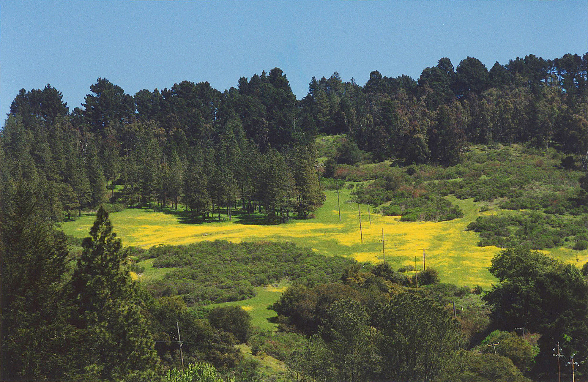
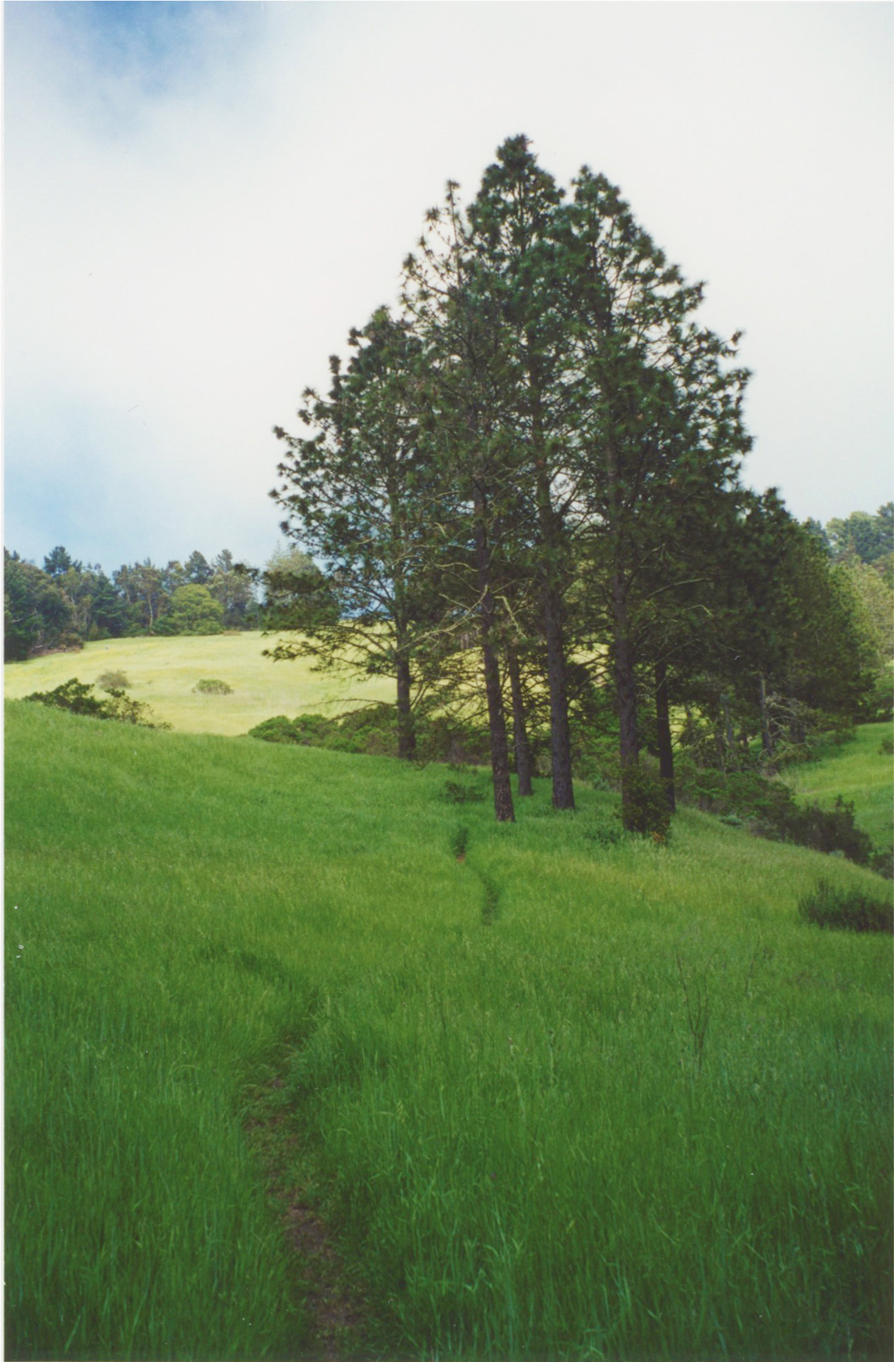
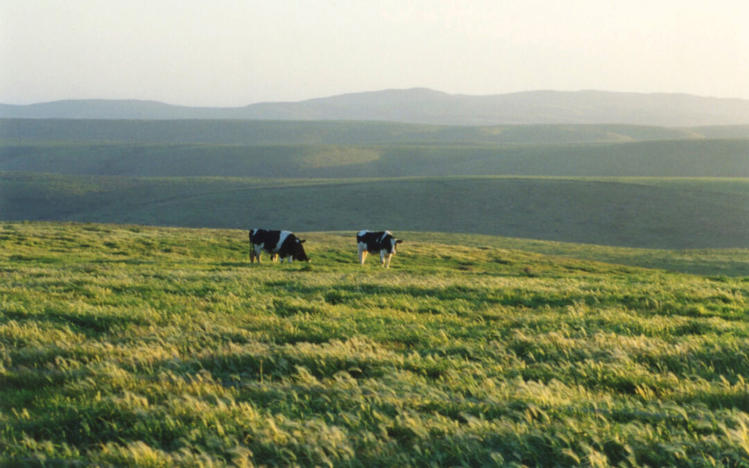
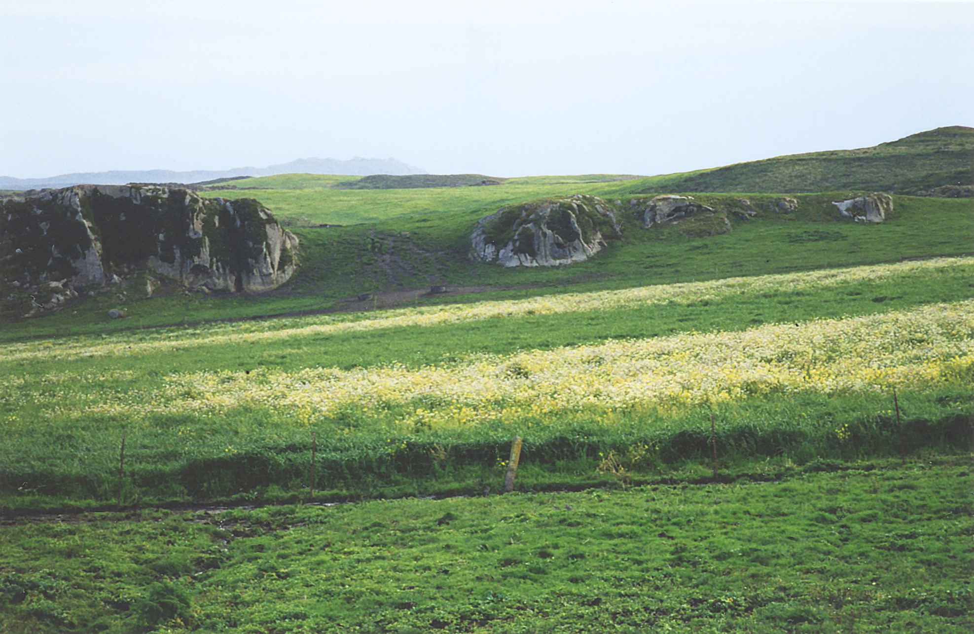
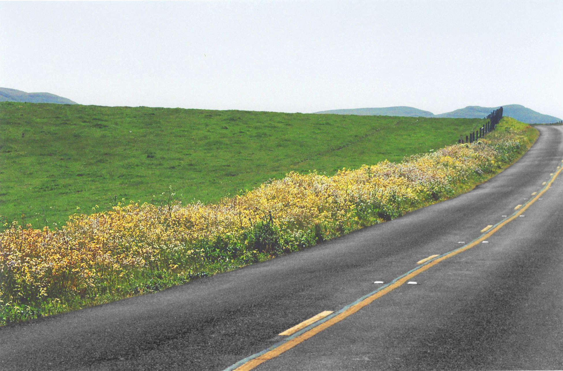
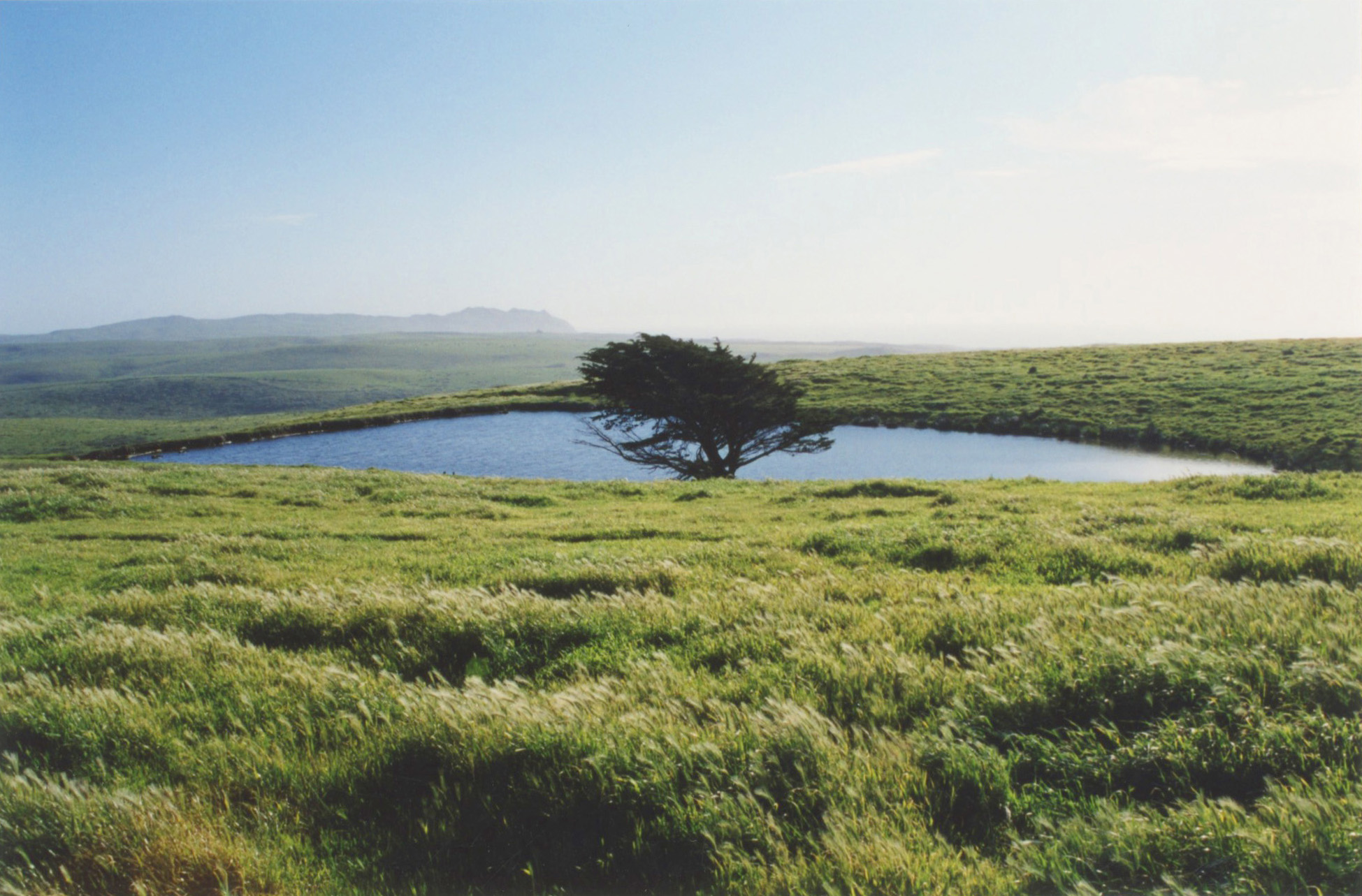
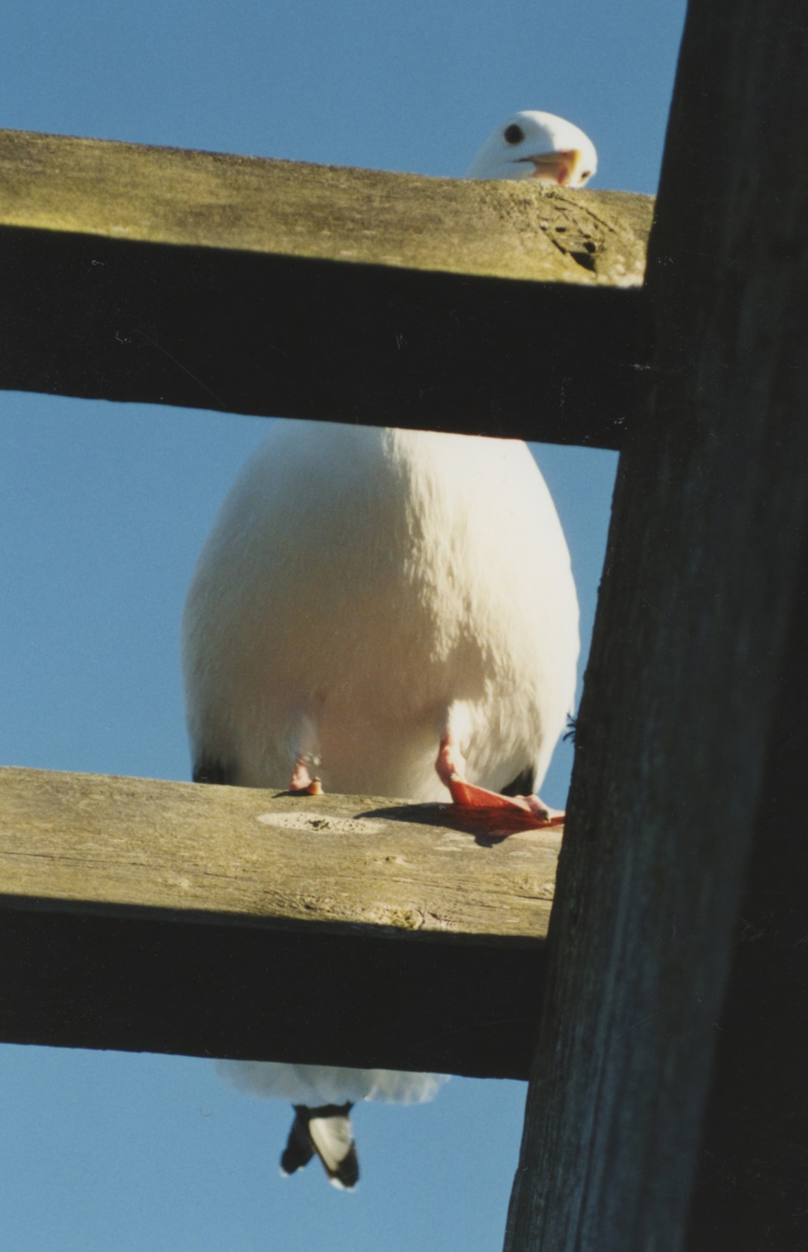
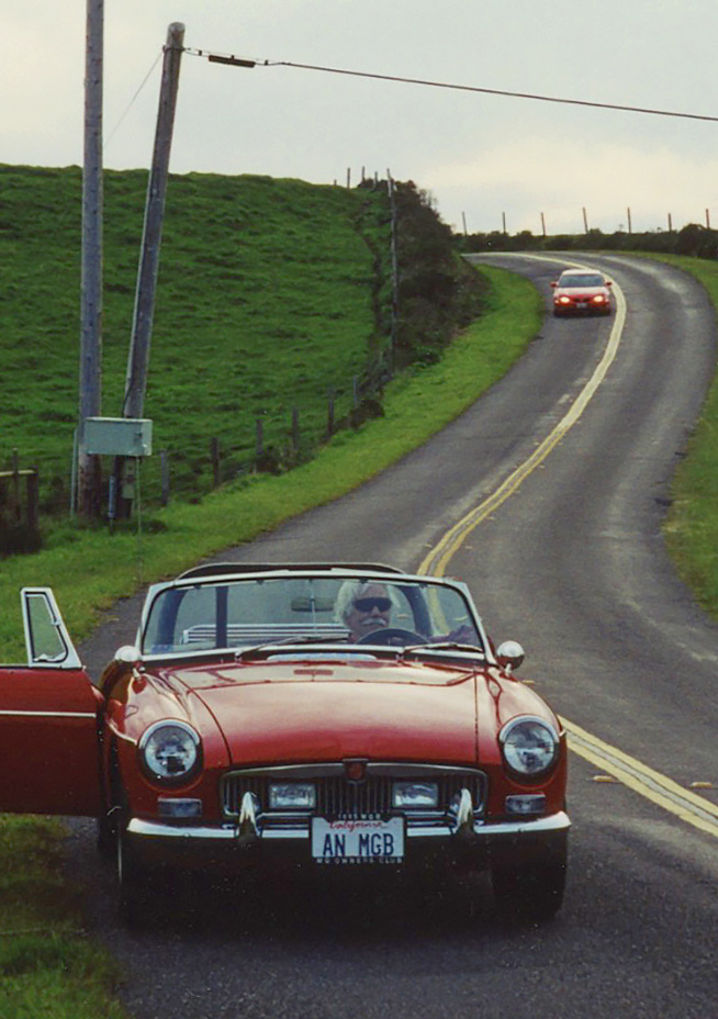
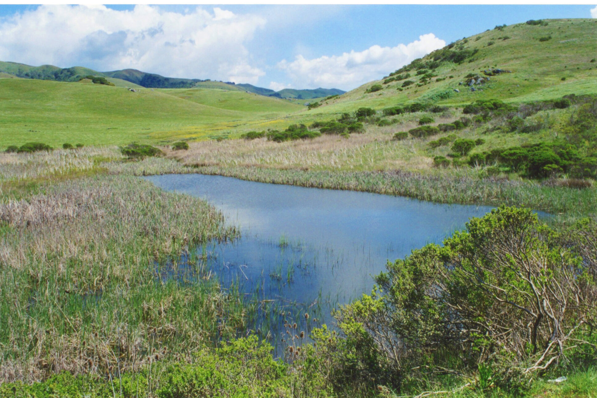
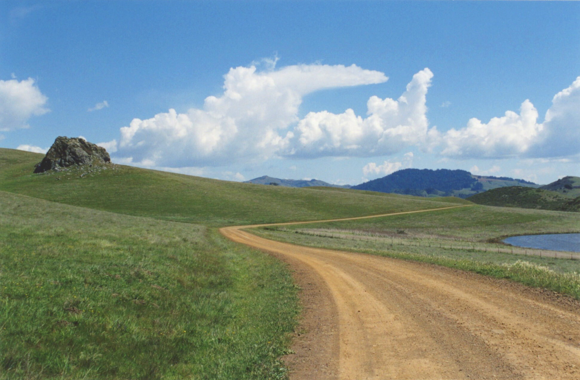
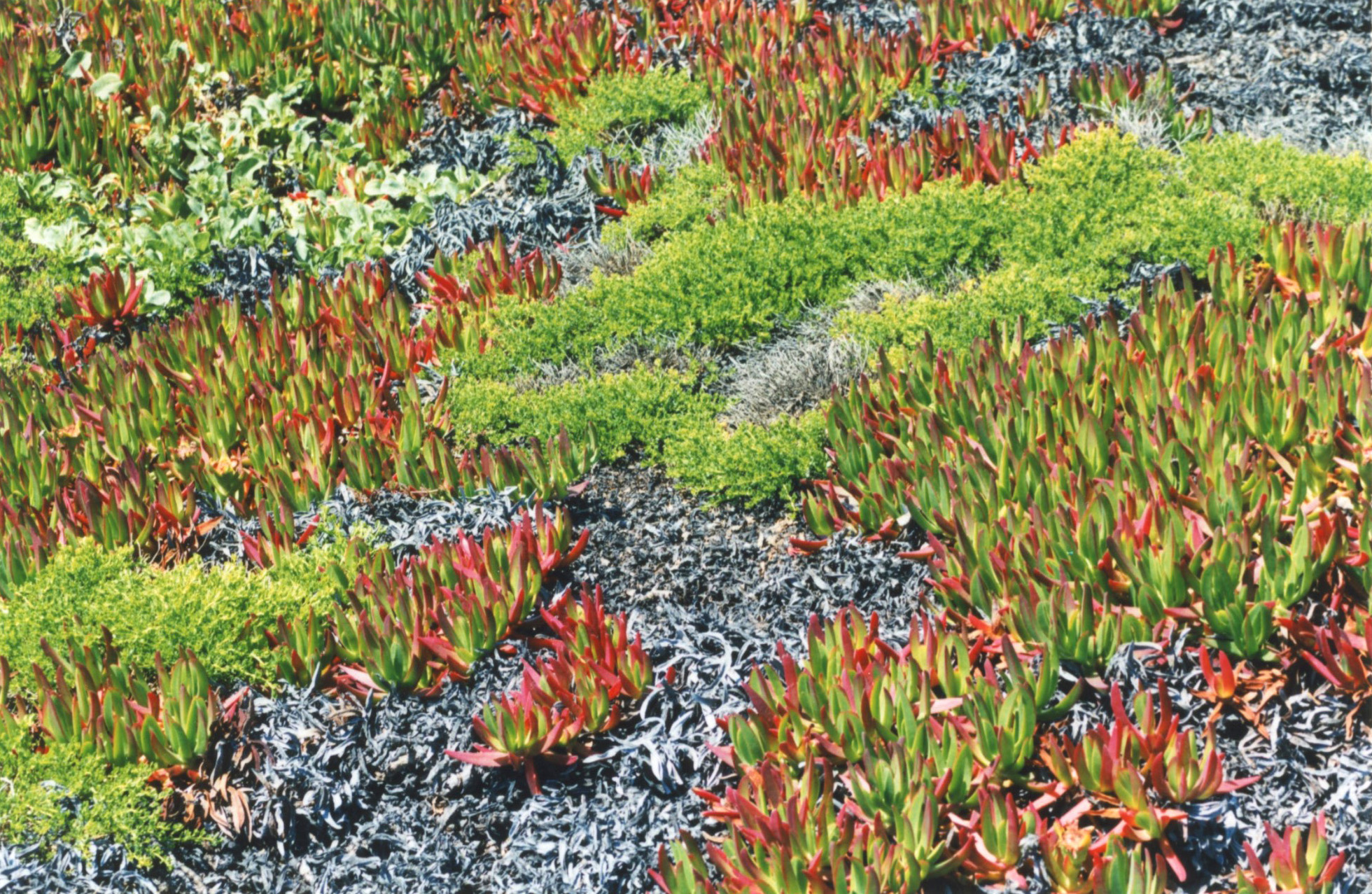
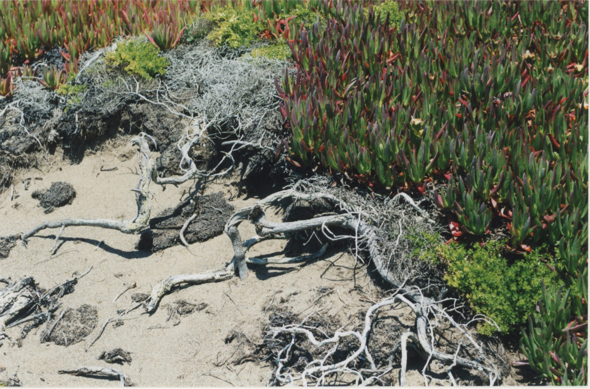
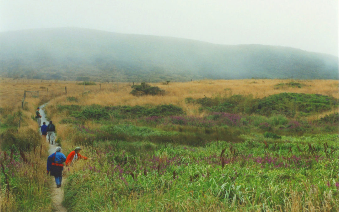
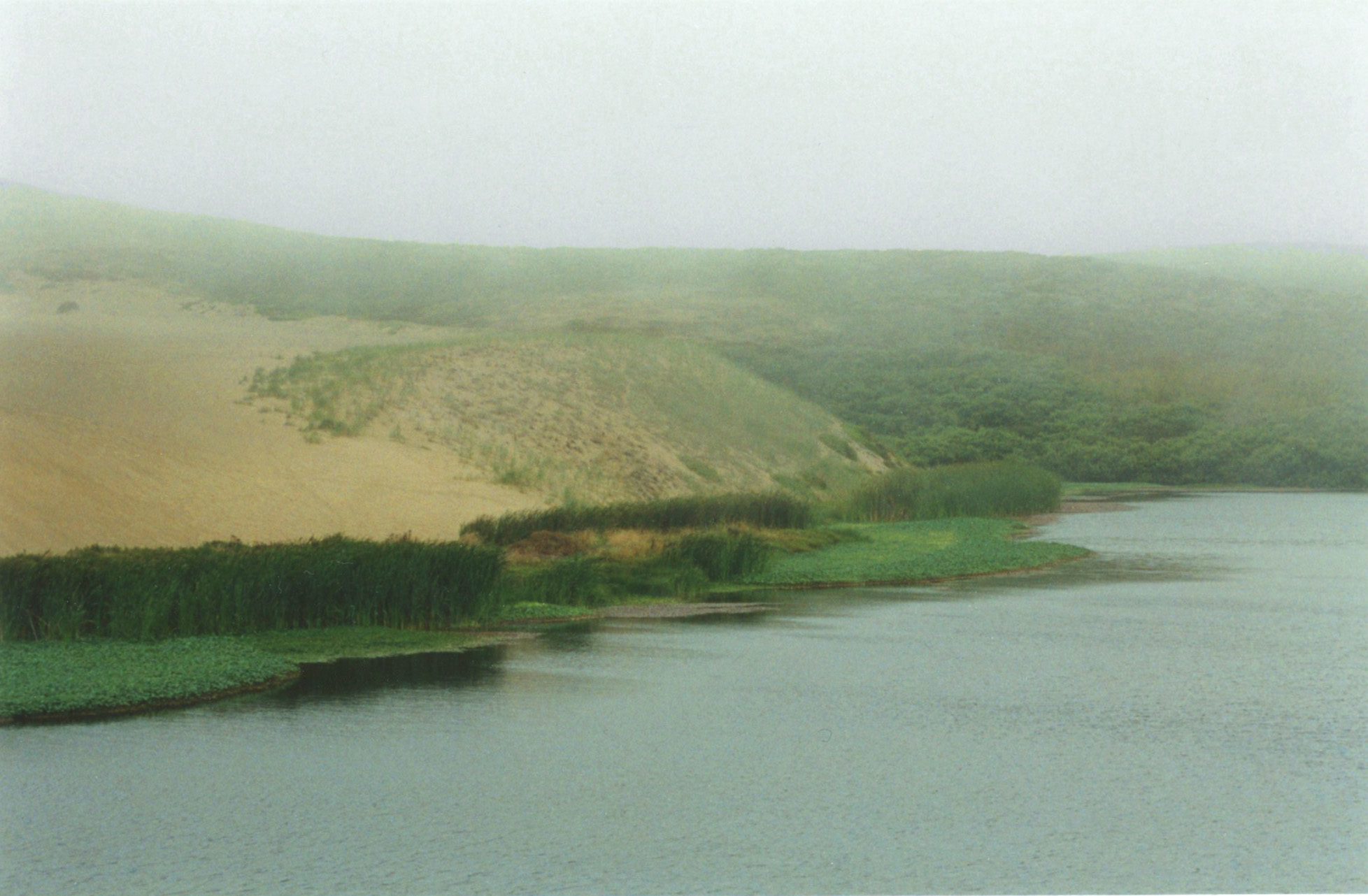
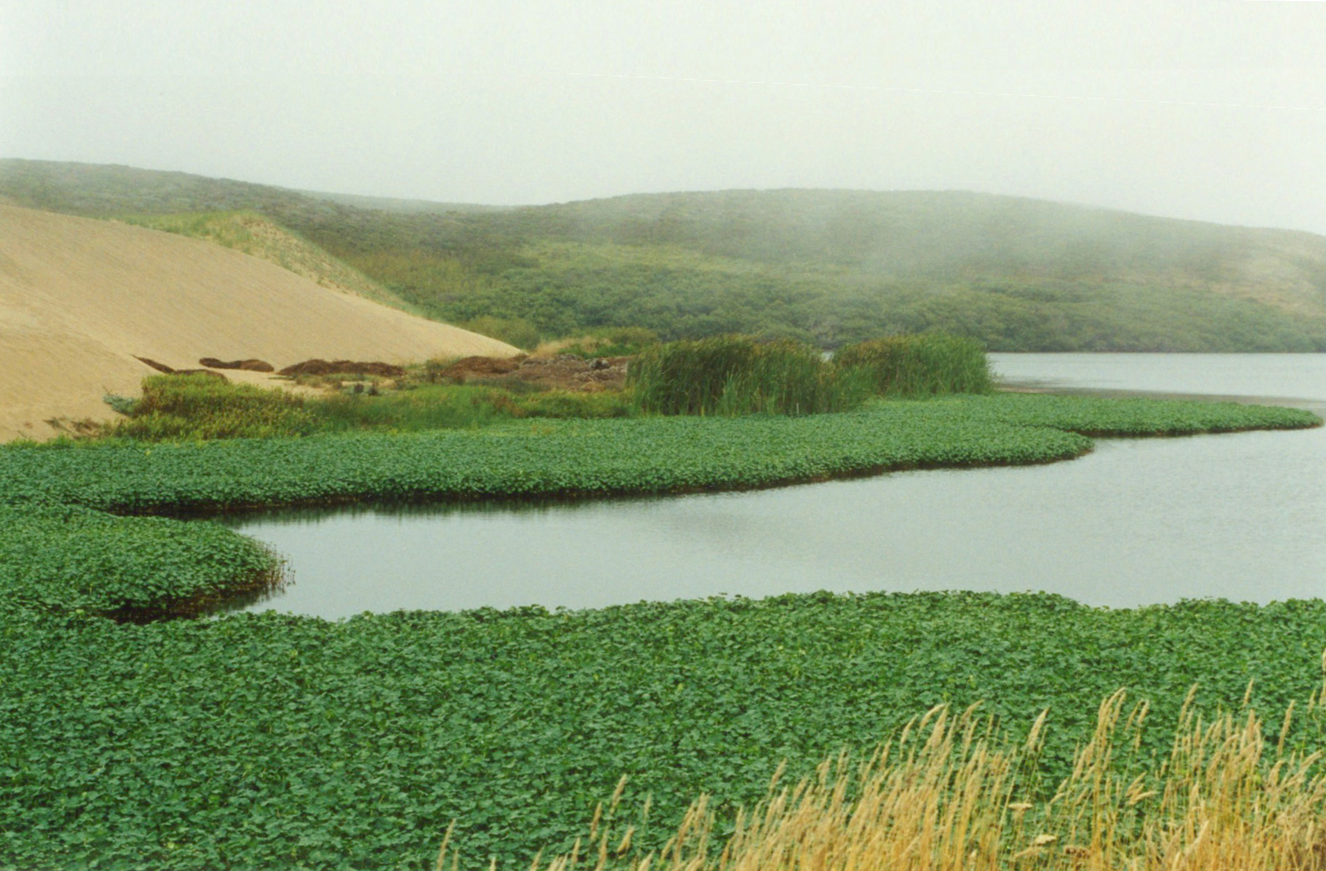
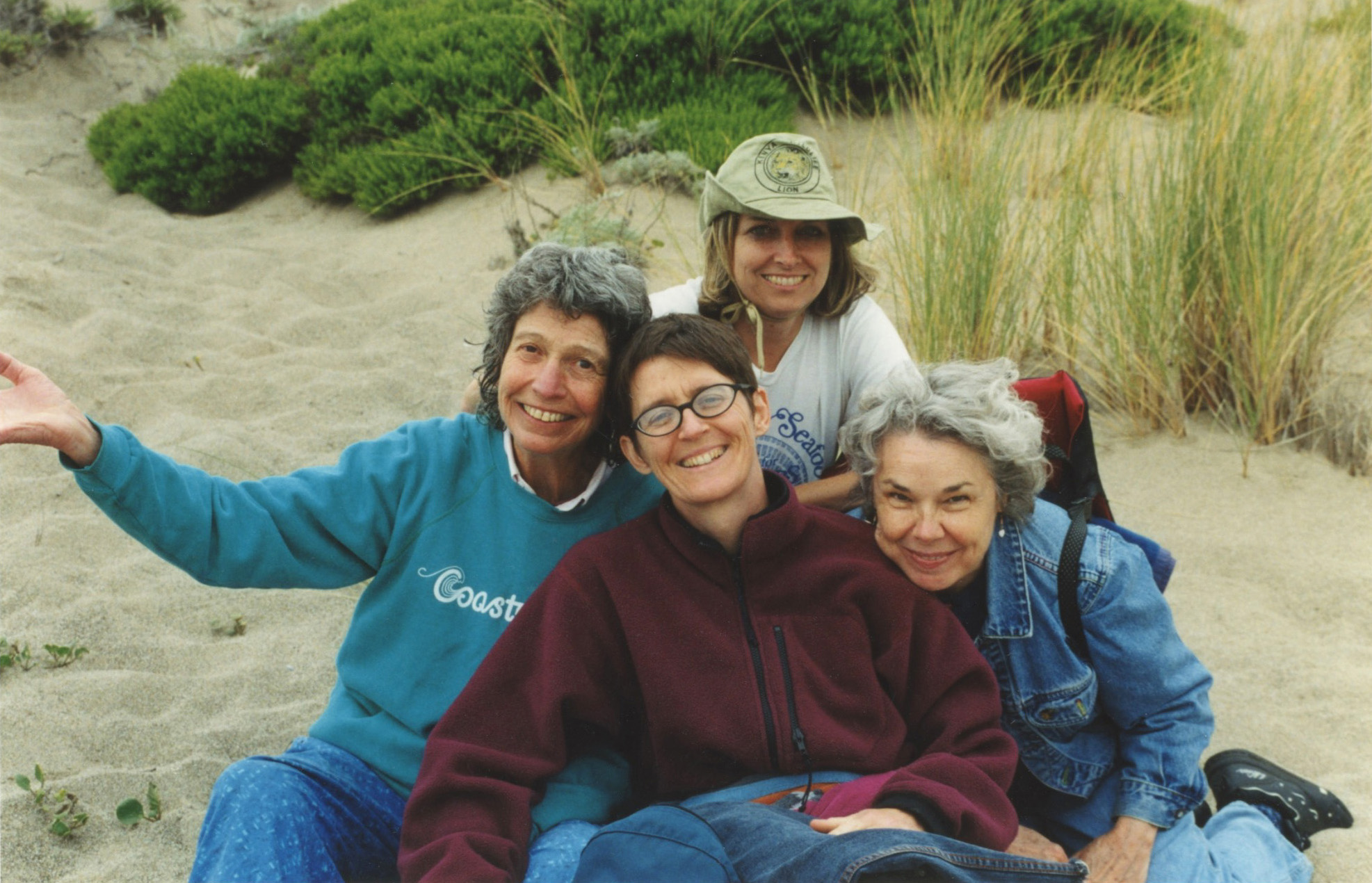
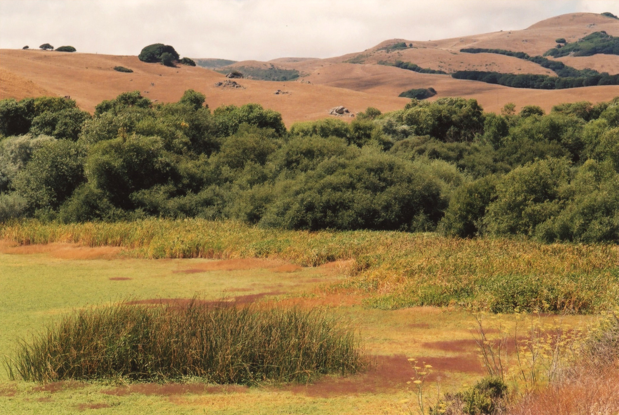
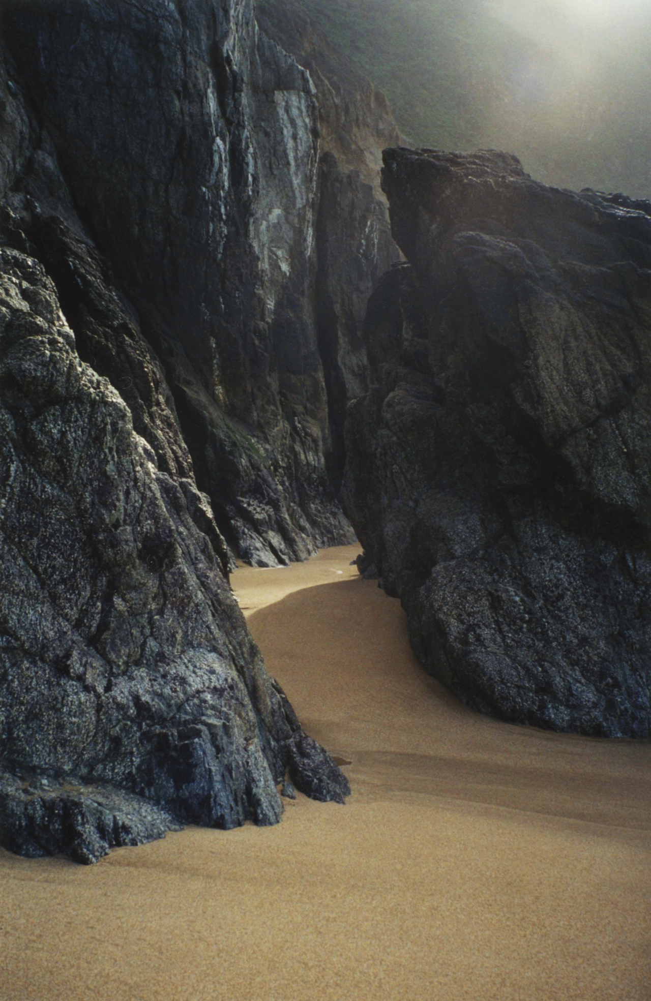
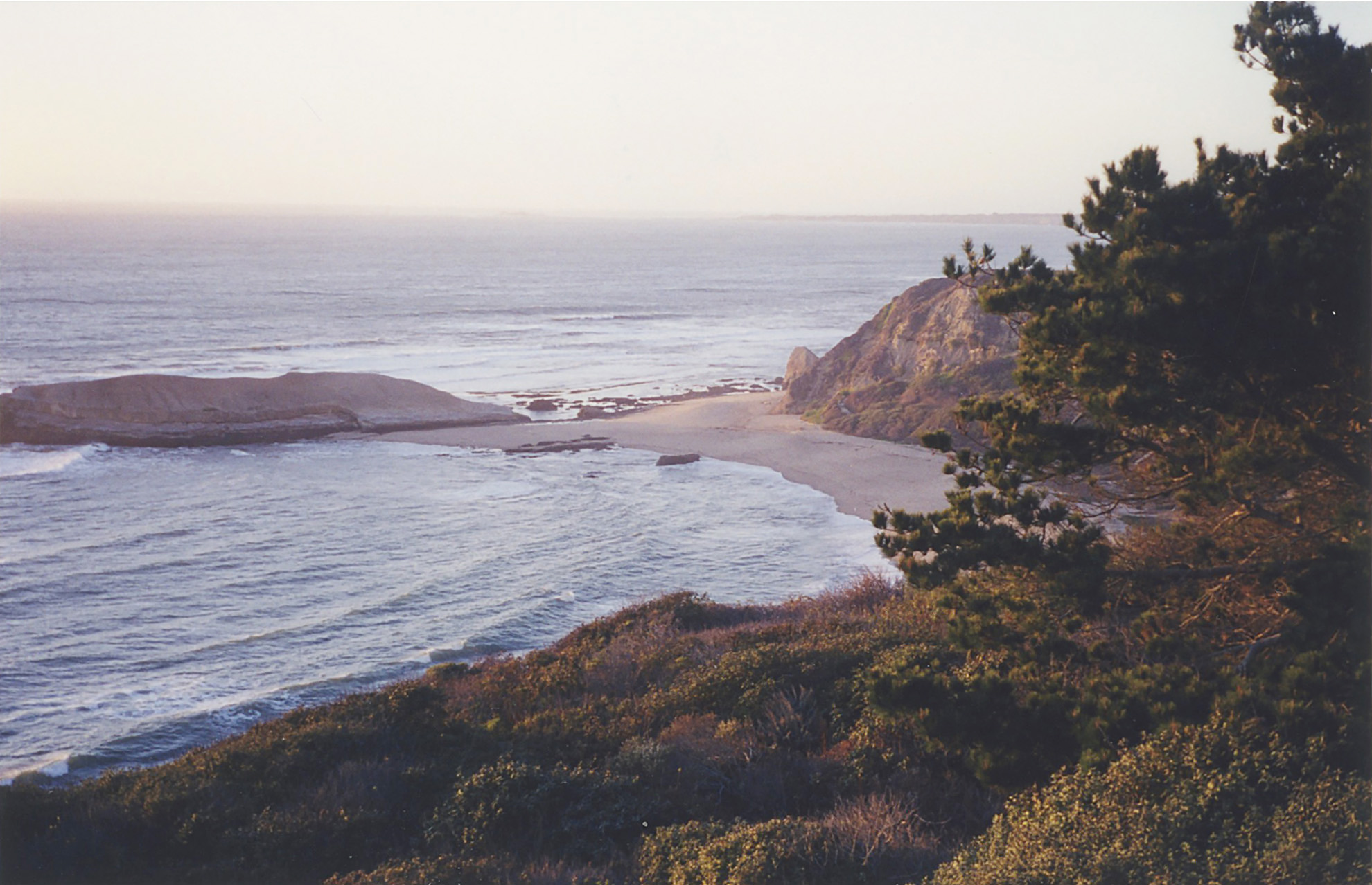
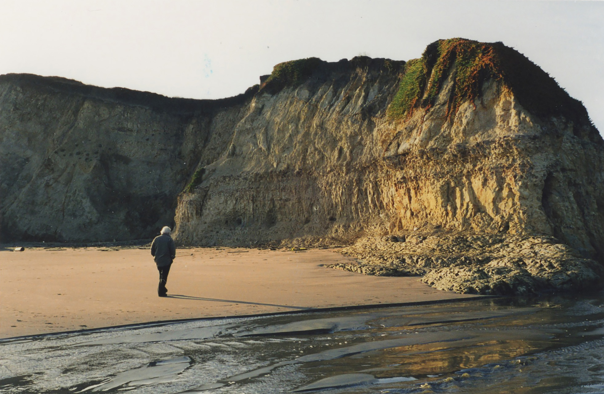
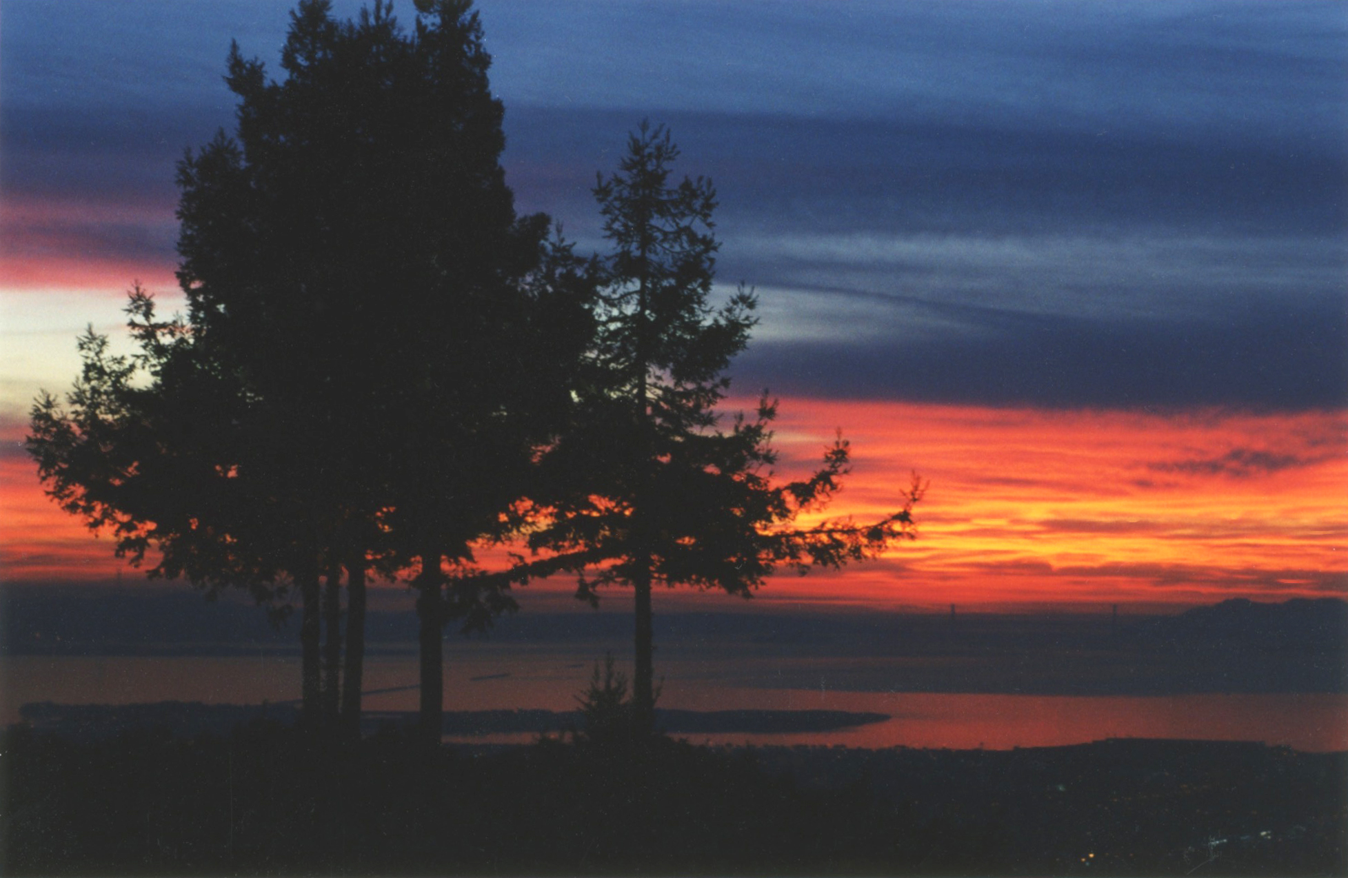
Because I didn’t take any pictures, I’ve decided to create a little montage of snapshots from past years, when Earl and I made the drive in his MGB.


The vistas are varied because the reservoir is as serpentine as a two-headed dragon. I know because I looked at it on a map.

Like much of California, the hills are green for only the briefest of seasons. This is a side road we explored on one of our outings.

Here the hills are already starting to turn brown.

Seeing the reservoir on the way home is part of the magic.

MY DUNE

MY DUNE

In the last miles before Drake’s Beach, I once climbed under the barbed-wire fence in this photo (taken yesterday) and hiked out to the dune in the distance with my camera.

The field was treacherously lumpy—with holes and clumps of brush that twisted my ankles—but there were also wild purple irises growing everywhere! I rolled down the dune just for the fun of it, then hiked the rest of the way to the ocean.

This is a backward glance at the terrain I’d just traversed.

In places the iceplant was in full bloom.

But it was dazzlingly colorful even where it wasn’t in flower yet.

Finally I reached the place where the flora met the driftwood of an isolated beach.

The whole trek was such a beautiful private viewing that I decided to return to this theater more than once in the years that followed.

ABBOTTS LAGOON

ABBOTTS LAGOON

My friend Betsy, from my Artist’s Way group, had a cabin in Inverness and invited a few of us up on several occasions. On one visit we hiked to Abbotts Lagoon.

LAND- AND SEASCAPES

LAND- AND SEASCAPES

I’m not a landscape photographer, as I’m sure is evident by now. I don’t go out searching for the perfect shot—taken from the perfect angle with the perfect lighting in the perfect season. Mine are catch-as-catch-can snapshots, taken on the fly in whatever conditions are at hand, with the result that most of my photos aren’t particularly good. Nevertheless, I’ve decided to include a sprinkling of a few I rather like:


The Nicasio Reservoir—different seasons and times of day.


Miscellaneous beaches


Other

This hillside north of San Francisco is the only one I’ve ever seen covered with heather.

The Berkeley pier with the Golden Gate Bridge in the distance.

The view from Euclid Avenue.

The fountain in Marin Circle. The creatures with the Christmas wreathes around their necks are bears, but to me they look more like possums.